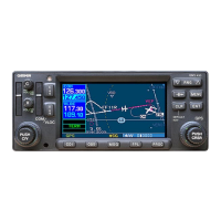
GNS 530(A) Pilot’s Guide and Reference
190-00181-00 Rev. G
SECTION 16 – MESSAGES,
ABBREVIATIONS, & NAV TERMS
16-12
16.3 NAVIGATION TERMS
The following navigation terms are used on the GNS
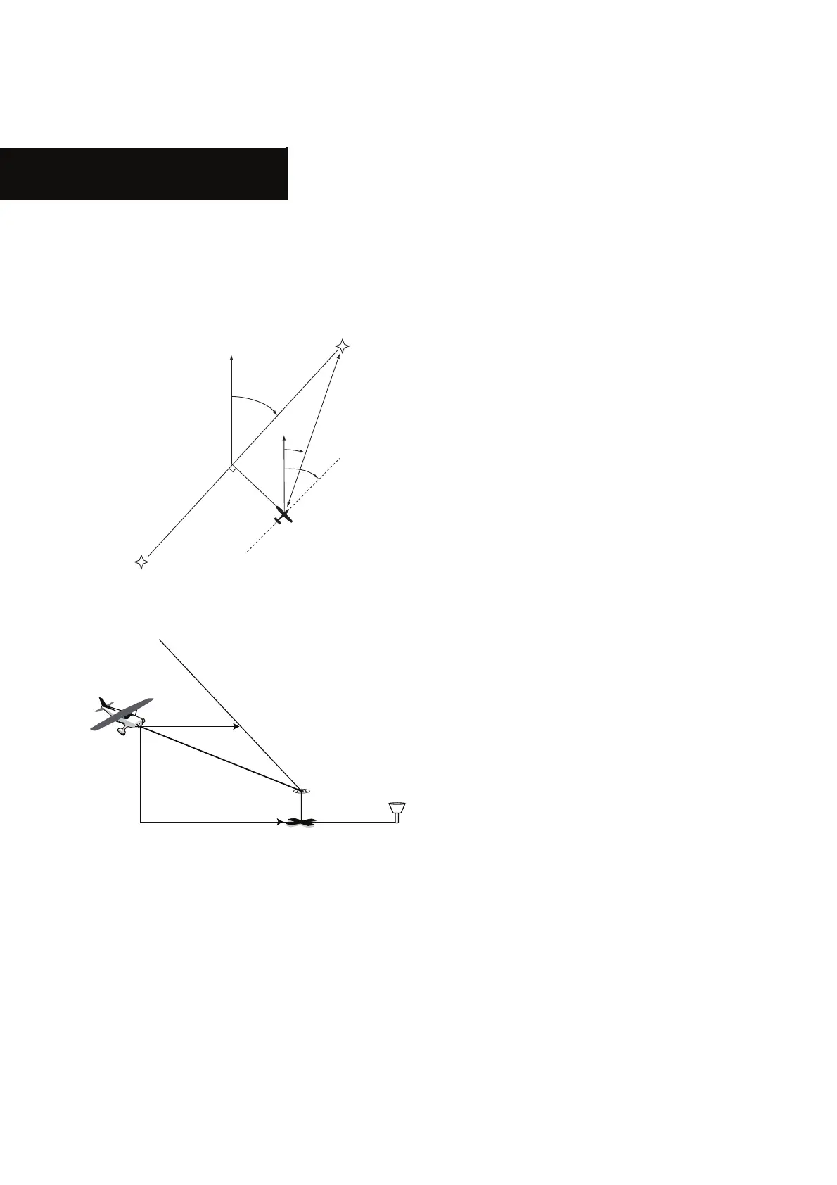
xÎäÊ>`ÊÊÌÃÊ*̽ÃÊÕ`i°ÊÊ,iviÀÊÌÊ}ÕÀiÃÊ£x£Ê>`
£xÓÊvÀÊ}À>«VÊÀi«ÀiÃiÌ>ÌÊvÊnavigation terms.
Figure 15-1 Illustrated NAV Terms
VERTICAL NAVIGATION PROFILE
VERTICAL SPEED REQUIRED
DISTANCE TO TARGET
TIME AND DISTANCE
TO PROFILE
TARGET ALTITUDE
AND POSITION
AIRPORT
CURRENT ALTITUDE
AND POSITION
Vertical
Navigation
Figure 15-2 Illustrated Vertical NAV Terms
ALT (altitude)ÊÊi}ÌÊ>LÛiÊi>ÊÃi>ÊiÛiÊ
-®°
BRG (bearing) - The compass direction from the
present position to a destination waypoint.
CAS (calibrated airspeed) - Indicated airspeed
corrected for instrument errors.
CTS (course to steer) - The recommended
direction to steer in order to reduce course error
ÀÊÃÌ>ÞÊÊVÕÀÃi°ÊÊ*ÀÛ`iÃÊÌiÊÃÌÊivwViÌÊ
heading to get back to the desired course and
proceed along the flight plan.
CUM (cumulative) - The total of all legs in a
y}ÌÊ«>ÊÃÕVÊ>ÃʼVÕÕ>ÌÛiÊ`ÃÌ>Vi½®°
DIS (distance)ÊÊ/iʼ}Ài>ÌÊVÀVi½Ê`ÃÌ>ViÊvÀÊ
the present position to a destination waypoint.
DOP (dilution of precision)ÊÊÊi>ÃÕÀiÊvÊ
satellite geometry quality on a scale of one to ten
ÜiÃÌÊÕLiÀÃÊ>ÀiÊLiÃÌ]Ê}iÃÌÊÕLiÀÃÊ>ÀiÊ
ÜÀÃÌ®°
DTK (desired track) - The desired course
LiÌÜiiÊÌiÊ>VÌÛiʼvÀ½Ê>`ʼ̽ÊÜ>Þ«Ìð
EFF (efficiency)ÊÊÊi>ÃÕÀiÊvÊvÕiÊ
VÃÕ«Ì]ÊiÝ«ÀiÃÃi`ÊÊ`ÃÌ>ViÊ«iÀÊvÕiÊÕÌÃÊ
i°}°]Ê>ÕÌV>ÊiÃÊ«iÀÊ}>®°
ENDUR (endurance) - Flight endurance, or total
available flight time based upon available fuel.
EPE (estimated position error)ÊÊÊi>ÃÕÀiÊvÊ
satellite geometry quality and additional factors,
iÝ«ÀiÃÃi`Ê>ÃÊ>ÊÀâÌ>Ê«ÃÌÊiÀÀÀÊÊviiÌÊÀÊ
meters.
ESA (enroute safe altitude) - The
recommended minimum altitude within ten miles,
left or right, of the desired course on an active
flight plan or direct-to.
 Loading...