5-12 Pilot’s Guide 190-02327-03 Rev. C
Hazard Awareness
Precipitation
WARNING
Never use NEXRAD weather for maneuvering in, near, or around areas of
hazardous weather. NEXRAD images are snapshots of past weather data. They
are not safe for use as real time depictions of nearby weather activity.
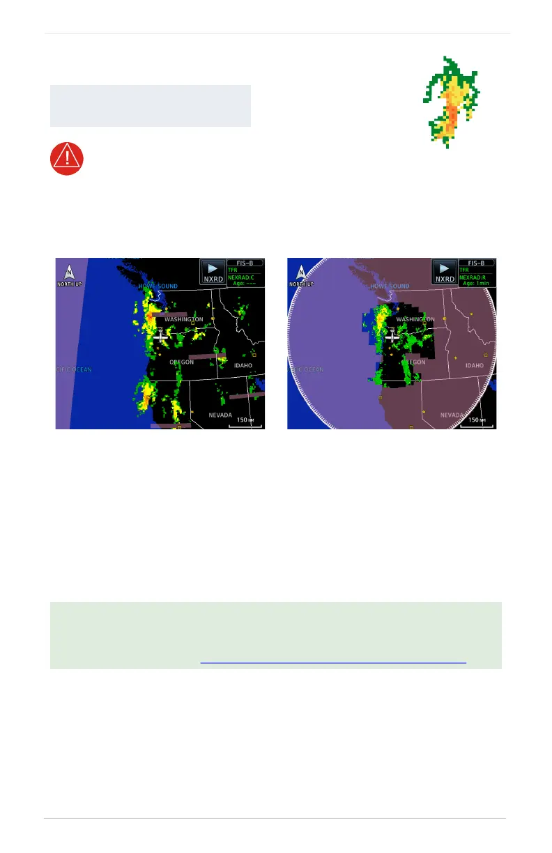
NEXRAD weather radar displays a mosaic of precipitation data, colored according to
reflectivity. Composite reflectivity images depict the highest radar energy received
from multiple an
tenna tilt angles at various altitudes. Base reflectivity images depict
radar returns from the lowest antenna tilt angle. Per AC 00-63A, FIS-B CONUS and
Regional NEXRAD are composite reflectivity images.
The precipitation intensity level reflected by each pixel represents the highest level of
composite radar reflectivity data sampled in that location.
AVAILABLE WITH:
FIS-B | SIRIUSXM | CONNEXT
A clear understanding of ground-based Doppler weather radar capabilities will
allow you to interpret the NEXRAD weather imagery in the safest way possible.
The National Oceanic and Atmospheric Administration hosts a description of the
technology on its website: https://www.weather.gov/jetstream/doppler_intro
CONUS NEXRAD Regional NEXRAD
FIS-B NEXRAD
 Loading...


