Garmin Pilot for iOS User’s Guide
190-01501-00 Rev. F
34
Overview
OverviewPlanFileFlySubscriptionsAppendicesIndex
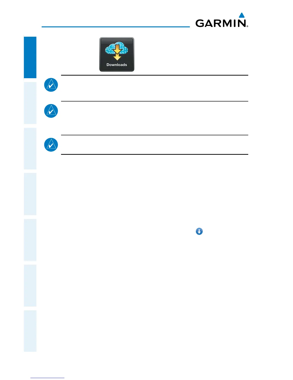
DOWNLOADS
NOTE:
If charts are not downloaded to the device they will not be available for
viewing without a data connection. Download all applicable charts for your
planned flight including alternates.
NOTE:
Chart files can be very large and may take some time to download. It
is recommended that downloads be done over Wi-Fi. Additional charges may
apply for downloads done over a cellular network. All available charts require
approximately 8 GB of free space.
NOTE:
With the availability of electronic charts in Garmin Pilot, it is still
advisable to carry another source of charts on board the aircraft.
The Downloads Menu is divided into three sections. The Navigation & Basemaps
section allows for downloading US Navigation Data, and Detailed Map Data. The
Airports sections allows for downloading Airport Info, SafeTaxi information and regional
Airport/Facility Directory (A/FD) information. The Procedures & Charts section allows
for downloading VFR Sectional Charts, WAC Charts, IFR Low and High Altitude Charts,
and Instrument Procedures for the Continental US as well as Alaska and Hawaii.
The Downloads Menu is divided into two columns. The Left column shows items
available for download as indicated by the blue down arrows ( ) or blue text. The
right column is the Download Queue which shows the download status and a list of
queued downloads. The available space on your device is shown at the bottom of the
Downloads Page. If the device does not have enough free space to support the queued
downloads a pop up notification will advise you to make more space available.
The submenus for VFR Sectional Charts, WAC Charts and IFR Low and High Altitude
Charts display the Chart Selection Screen, which is a map showing the charts areas
as green outlines. To select all available charts touch Select All in the lower left
corner or touch the area outlined in green for the desired chart(s). After selecting the
chart(s) to be downloaded touch Download in the upper right corner. The submenu
for Instrument Procedures allows for downloading by region or by state. Terminal
Procedure charts can be viewed and downloaded from the Airport Info Page, under the
Procedures tab as well.
 Loading...