Garmin Pilot for iOS User’s Guide
190-01501-00 Rev. F
70
Plan
OverviewPlanFileFlySubscriptionsAppendicesIndex
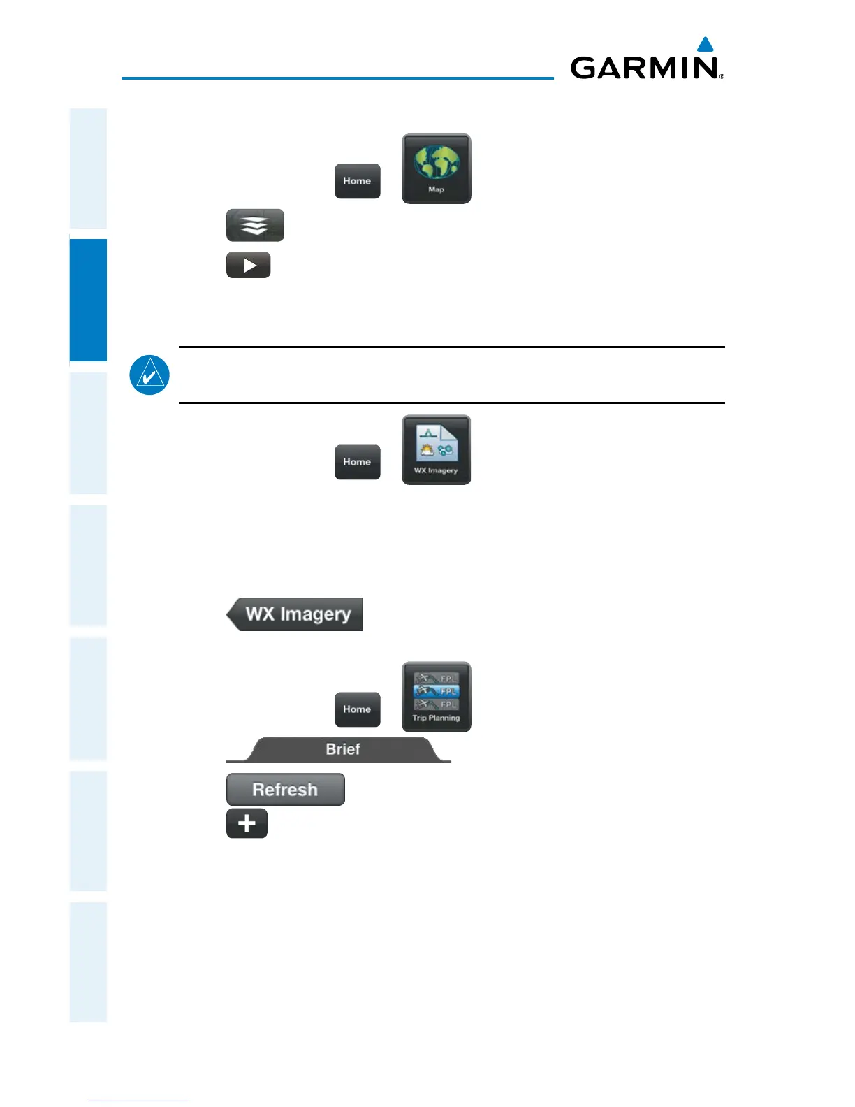
Viewing Radar Information:
1)
From any page touch > .
2)
Touch > Overlays > Radar.
3)
Touch to animate the radar loop. Each frame of the radar loop is
time stamped. The time stamp is just right of the play button.
Or:
NOTE:
Weather Imagery (WX Imagery) maps can be pinch zoomed for a closer
look.
1)
From any page touch > .
2)
Select Radar from the list.
3)
Select the icon for the desired coverage area to display the National
Weather Service static aviation weather map. Radar imagery is available for
the Continental US, Alaska, Hawaii and Mexico
4)
Touch to return the WX Imagery Region Submenu.
Or:
1)
From any page touch > .
2)
Touch
3)
Touch if necessary to update the weather information.
4)
Touch to expand Radar Summaries, to view the applicable textual
radar information for the route of flight.
 Loading...