Garmin Pilot for iOS User’s Guide
190-01501-00 Rev. F
76
Plan
OverviewPlanFileFlySubscriptionsAppendicesIndex
A SIGMET is widespread and must affect or be forecast to affect an area of at least
3,000 square miles.
Viewing AIRMETS and SIGMETS:
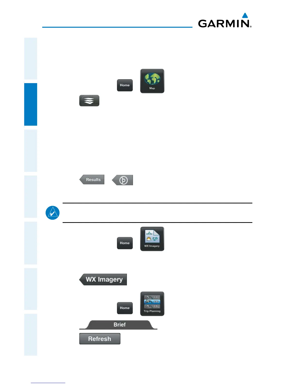
1)
From any page touch > .
2)
Touch > Overlays > AIR/SIGMETs.
3)
Touch Map Overlay Control Button and select the desired type of AIRMET/
SIGMET (i.e., Convective, Icing, IFR/MTN, or Turbulence) to display.
4)
Touch within the shaded area of an AIRMET/SIGMET to view the radial
menu.
5)
Touch AIR SIG in the Radial Menu, and select the desired AIRMET/SIGMET
for details.
6)
Touch > to return to the Radial Menu.
Or:
NOTE:
Weather Imagery (WX Imagery) maps can be pinch zoomed for a closer
look.
1)
From any page touch > .
2)
Select AIRMET/SIGMET from the list.
3)
Select the icon for the desired weather map.
4)
Touch to return the WX Imagery Region Submenu.
Or:
1)
From any page touch > .
2)
Touch
3)
Touch if necessary to update the briefing information.
 Loading...