4 - System setup
75
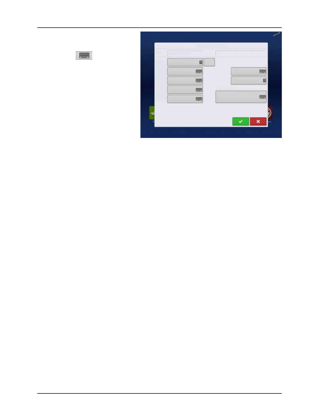
The Field Information screen opens, showing the
name of that field in the “Field” title bar.
Field Name information that can be added or
edited by pressing .
Possible to edit:
• County
• Township
• Range
• Section Number
• Legal Description
• Area
Shown in the total acres (hectares) of the
field. Used to calculate area remaining in
field.
• FSA Number
Refers to the U.S. Farm Service Agency’s four-digit number assigned to every field.
• FSA Area
Refers to tillable acres as established by the FSA.
• Clear Bounds button
Press to center the map on the current GPS position.
÷
NOTE! The Clear Bounds feature is particularly useful if you have flyer points or have logged a point outside the
mappable range of your current location.
Field Information
Field Creek Bottom 30
Farm Sheldon
Clear
Bounds
Area
County
Township
Range
Section
FSA Number
FSA Area
Legal Description
98.64 ac
98.64 ac
 Loading...