Multi-spectrum Binocular User Manual
36
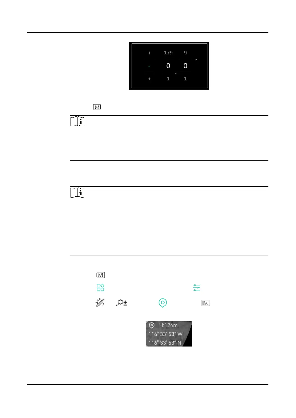
Figure 5-8 Manual Correction
3.
Hold to save and exit.
Note
It is recommended to check the local magnetic declination information on
the authorized website before manually correcting the magnetic
declination. The eastern magnetic declination is indicated with a positive
mark (+), and the western declination is indicated with a negative mark (-).
5.8
Geographic Location Display
Note
The satellite module is not able to receive signals when the device is
indoor. Place the device in an empty outdoor space to receive signals.
In an outdoor space, wait for a moment for the device to display its
location.
Equipped with satellite positioning modules, the device is able to
display the longitude and latitude, as well as the sea level altitude of the
device on the live image, captured images, and recorded videos.
Steps
1.
Press to show the menu.
2.
Go to Advanced Settings, and select Function Settings.
3.
Press or to select , and press to enable GPS. You
can see the location displayed at the lower right corner of the screen.
Figure 5-9 Device Location Display
 Loading...