IntuVue RDR-4000 Weather Radar Pilot's Guide
060-4492-000 Expanded Operating Instructions
Rev 7, February 2015 13
WEATHER DETECTION
AUTOMATIC WEATHER MODE (AUTO)
GENERAL DESCRIPTION
AUTO mode provides weather,
turbulence, and predictive windshear
detection. The system processes the
data to fill the 3D memory and extracts
the selected data for display. When a
PWS event is detected, an icon is shown
on the display. Returns determined to
be ground clutter are not shown.
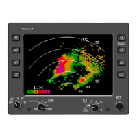
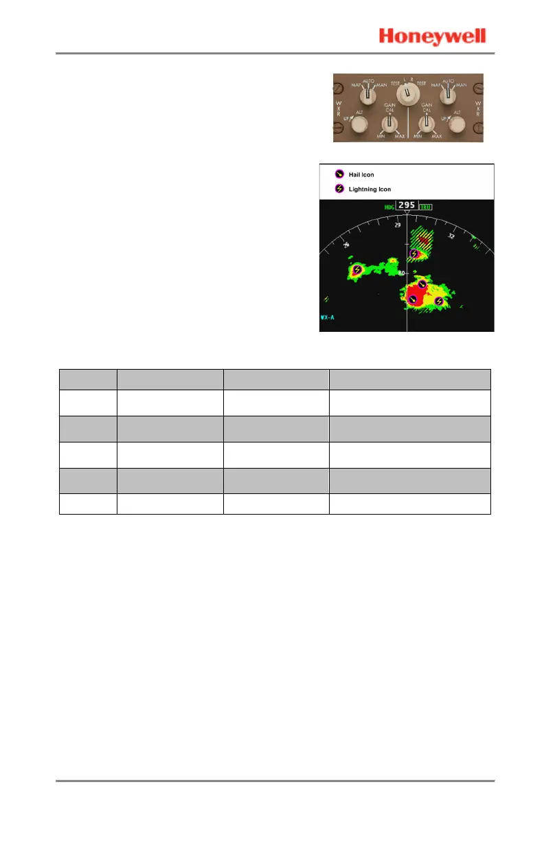
Weather targets are color-coded by the
intensity of the return. The display
correlation to approximate rainfall (with
Gain set to CAL) is as follows:
Reflectivity Color Codes (Gain at CAL)
Color Returns Reflectivity Rainfall Rate
Black Very light or none Less than 20 dBZ
Less than 0.7 mm/hr
(0.028 in/hr)
Green Light 20 – 30 dBZ
0.7 – 4 mm/hr
(0.028 – 0.16 in/hr)
Yellow Medium 30 – 40 dBZ
4 – 12 mm/hr
(0.16 – 0.47 in/hr)
Red Strong 40 dBZ or greater
Greater than 12 mm/hr
(0.47 in/hr)
Magenta Turbulence N/A N/A
FLIGHT PATH WEATHER
The RDR-4000 fills the 3D memory with all the detected weather in front
of the aircraft out to 320 nm, and from ground level up to 60,000 ft mean
sea level (MSL). The RDR-4000 displays weather along the flight path
(designated Flight Path Weather) using solid colors. All other weather is
designated as Secondary Weather, and is displayed with black stripes
through it.
The nominal Flight Path Weather envelope is ±4,000 ft with respect to
the expected flight path. At cruise altitudes above 29,000 ft MSL, the
floor of the envelope is extended down to 25,000 ft MSL when
necessary to ensure that relevant convective activity is displayed (see
ENVELOPE BOUNDARY DEFINITION on page 56). On the ground
and during departure or approach the ceiling of the envelope is fixed at
10,000 ft MSL. This provides approximately 10 minutes of look-ahead.
 Loading...