2-76
Section 2
FIS Operation
Understanding Weather Reports
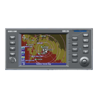
KMD 250 Pilot's Guide
Rev 4 Aug/2007
UNDERSTANDING CONVECTIVE SIGMETS
The following is an example of a typical Convective SIGMET with an
explanation of the elements.
1. Station Identifier: MKCC
MKC is the station identifier of the Aviation Weather Center (AWC)
in Kansas City.
The C denotes the report is for the Central portion of the continental
United States. The choices are as follows:
C Central
E East
W West
Convective SIGMETs are issued for:
Severe weather including: (a)Surface winds ≥ 50 knots,
(b) Surface hail ≥ 3/4 inch in diameter or (c) Tornadoes
Embedded thunderstorms (obscured by haze or other phenomena)
Line of thunderstorms
Thunderstorms ≥ VIP level 4 affecting ≥ 40% of an area ≥ 3000 sq.
mi.
2. Report Type: WST
WST indicates this is a convective SIGMET.
3. Date and Time Issued: 221855.
22 indicates the 22nd day of the month. 1855 indicates UTC.
4. This line is the identifying number of the Convective SIGMET.
Numbering begins daily at 0000 UTC. The C denotes the Central
portion of the country.
WIND GUSTS TO 60KT RPRTD. TORNADOES…HAIL TO 2 IN…WIND
 Loading...