EasyManuals Logo

Humminbird HELIX CHIRP GPS G2N User Manual

Humminbird HELIX CHIRP GPS G2N
330 pages
To Next Page IconTo Next Page
To Previous Page IconTo Previous Page
Page #94 background imageLoading...
Page #94 background image
94
Side Imaging Sonar
To visualize how Side Imaging works, the Side Imaging View illustration can be folded down the middle and then folded again at the
lowest point of the water column. The raised area reveals the water column with its relative depth of the water under the boat. In the
Side Imaging View, variations in the width of the water column show variations in the distance to the bottom as the boat passes over.
Side Imaging View
boat icon water column
Interpreting the Side Imaging View
NOTE: See humminbird.com for tutorials and Side Imaging videos.

Table of Contents

Questions and Answers:

Question and Answer IconNeed help?

Do you have a question about the Humminbird HELIX CHIRP GPS G2N and is the answer not in the manual?
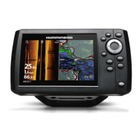
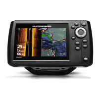
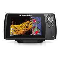
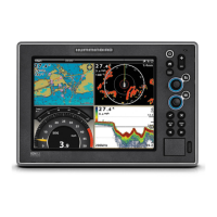
Humminbird HELIX CHIRP GPS G2N Specifications

General IconGeneral
Display Size7 inches
Waypoints2, 500
Routes50
Track Points50, 000
NetworkingEthernet
Display TypeColor TFT
Down ImagingYes
Side ImagingYes
ChartplottingYes
LakeMaster CompatibilityYes
AutoChart LiveYes
NMEA0183Yes
NMEA2000Yes
Power Output500 Watts (RMS)
Storage Temperature-20°C to 70°C
Water RatingIPX7
Display Resolution800H x 480V
SonarCHIRP Digital Sonar
GPSInternal
Display Pixel Matrix800H x 480V
Card SlotsmicroSD
Max Depth1500 ft
Frequency83/200 kHz & 455/800 kHz

Related product manuals