76
Reset Options
This command is used to reset all features, options and settings to their
default settings. This is useful when you have changed several settings
and want to return the unit to basic automatic operation.
1. Press
MENU|MENU|↓ to SYSTEM SETUP|ENT|↓ to RESET OPTIONS|ENT.
2. Press ← to
YES|ENT.
3. All the menus are cleared and the unit reverts to the Map Page at
the 4000-mile zoom, just as if you had turned it on for the first time. All
options have been returned to the factory settings.
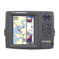
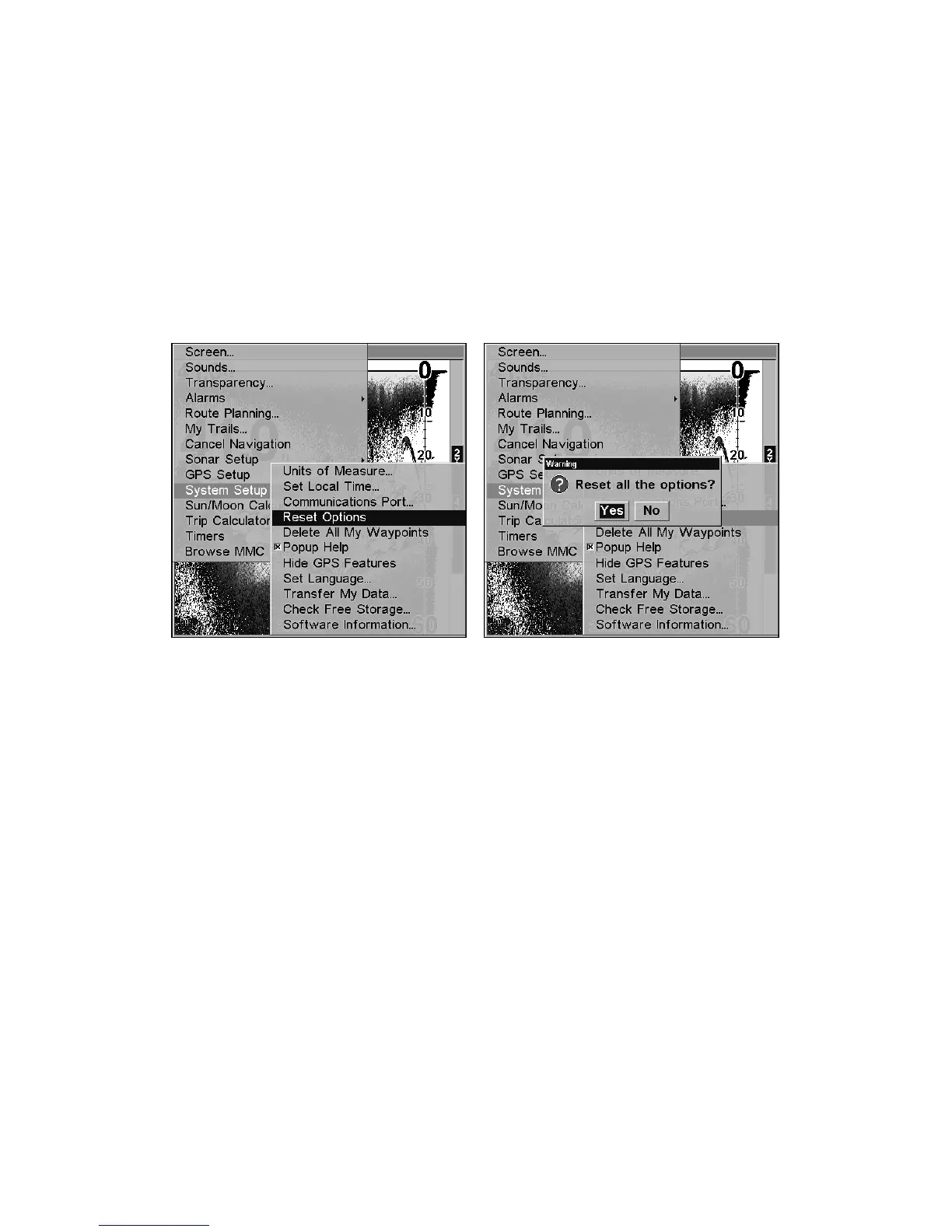
System Setup menu with Reset Options command selected (left). The
Reset Options dialog box with Yes selected (right).
NOTE:
Reset Options does not erase any waypoints, routes, plot trails, or
sonar logs.
Reset Water Distance
The sonar chart's Digital Data display option includes a box that shows
distance traveled, called Water Distance. This information is calculated
from an optional water speed sensor, not the GPS. The Water Distance
window can be reset to zero using the Reset Water Distance command.
Press
MENU|MENU|↓ to SONAR SETUP|ENT|↓ to RESET WATER DIS-
TANCE
|ENT. The menus are cleared and the water distance is reset to 0.00.
Set Keel Offset
This unit measures water depth from the face of the transducer. Since
the transducer is installed below the water surface, the distance dis-
played by the digital depth, chart depth scale, chart cursor or fish sym-
bols is not the exact water depth.
 Loading...