Do you have a question about the Lowrance LMS 330C and is the answer not in the manual?
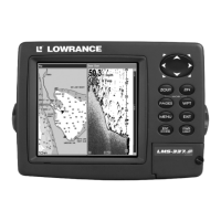
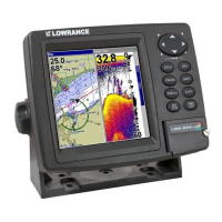
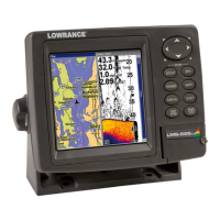
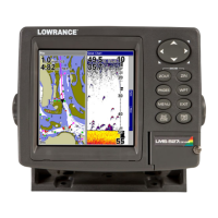
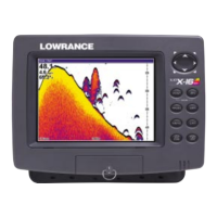
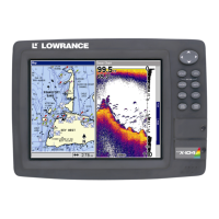
Details on display, resolution, power, size, memory, and sonar frequencies.
Explains formatting for keys, menu commands, and instruction sequences.
Instructions for mounting Skimmer transducers on transoms, trolling motors, or inside hulls.
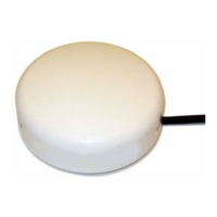
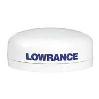
Details on installing GPS antenna, module, and connecting power sources.
Options for unit mounting and installing MMC/SD cards for data storage.
Lists other available accessories like MMC cards, readers, and mapping software.
Explains the fundamental principles of how sonar technology functions.
Describes how the GPS unit scans the sky to determine location and navigation.
Explains GPS system functionalities and WAAS role in improving accuracy.
PC software and applications for learning sonar operation and unit simulation.
Overview of unit keys, power functions, and main menu navigation.
Explains the four main page screens and how to switch between them.
A simplified 10-step guide for basic fish finding operations.
Configuration of sonar alarms and adjustment of sensitivity levels for optimal display.
Manages depth ranges, transducer frequency, and signal interpretation features.
Explains Fish I.D., Fish Symbols, FishTrack, and frequency settings.
Features for logging sonar data, overlaying information, and customizing chart display.
Includes FasTrack, HyperScroll, and IceView for enhanced sonar interpretation.
Troubleshooting steps for unit not turning on, freezing, or operating erratically.
Solutions for weak bottom echo, erratic readings, no fish signals, and noise interference.
Overview of GPS keys, power, menu structure, and page screen navigation.
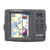
Explains Satellite Status, Navigation, and Map pages for GPS information.
A 12-step guide for basic GPS operations, including navigation and waypoint setting.
Procedures for finding current position and navigating the map using zoom and cursor keys.
Covers finding addresses, streets, POIs, and waypoints by name or nearest.
Methods to create, edit, select, and delete waypoints.
Steps for creating, saving, updating, and following trails.
Accesses menus for setting alarms, trip timers, and the clock.
Covers deleting, editing, selecting, and setting waypoints using various methods.
Configuration of GPS alarms, communication ports, and NMEA sentences for data exchange.
Selecting coordinate systems, map datums, detail levels, orientation, and GPS features.
Includes language, time, software, sounds, track smoothing, and trail options.
Sets units for speed, distance, depth, temperature, and heading.
Covers finding addresses, streets, intersections, and highway exits.
Covers finding map places, POIs, and waypoints by name or nearest.
Lists various geodetic datums supported by the unit for coordinate systems.
Details compliance with FCC Part 15 rules for digital devices and potential interference.
| Resolution | 480 x 480 pixels |
|---|---|
| Sonar Frequency | 200 kHz |
| Waterproof Rating | IPX7 |
| Waypoints | 3000 |
| Routes | 100 |
| Voltage Range | 10-17 VDC |
| Display Size | 5 inches |
| Display Type | Color TFT |
| Track Log | 10, 000 points |
| Operating Temperature | -15 to 70 degrees Celsius |