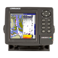
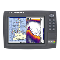
148
• GGA transmits time, position, and fix related data.
• GSA and GSV transmits fix mode, DOP values, and satellites in
view information.
• DBT transmits the depth below the transducer.
• DPT transmits the depth
• MTW transmits the water temperature.
• VLW transmits the distance traveled through water as meas-
ured by the paddle wheel.
• VHW transmits the water speed as measured by the paddle
wheel.
4. When the desired prefixes are checked or unchecked, press
EXIT|EXIT|EXIT|EXIT to return to the previous page.
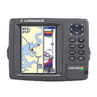
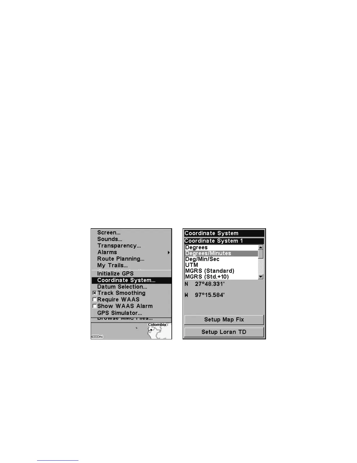
Coordinate System Selection
The Coordinate System Menu lets you select the coordinate system to
use when displaying and entering position coordinates.
Menus for changing coordinate system used to display positions.
To get to Coordinate System Selection:
1. Press
MENU|MENU|↓ to GPS SETUP|ENT.
2. Press ↓ to
COORDINATE SYSTEM|ENT.
This unit can show a position in degrees (36.14952°); degrees, minutes
and thousandths of a minute (36° 28.700'); or degrees, minutes, seconds
and tenths of a second (36° 28' 40.9"). It can also show position in: UTM
(Universal Transverse Mercator) projection; MGRS (Standard); MGRS