Do you have a question about the Topcon GTS-239N and is the answer not in the manual?
Precautions for safe operation, handling, and transport of the instrument.
Important warnings and cautions regarding product safety and potential hazards.
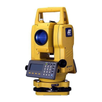
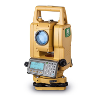
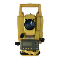
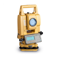
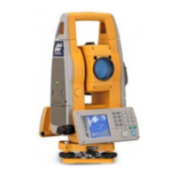
Identification and labeling of the main parts and components of the instrument.
Explanation of the function of each key on the instrument's control panel.
Step-by-step guide for mounting, leveling, and centering the instrument on a tripod.
Procedure for turning on the instrument and initial display adjustments.
Explanation of automatic tilt correction and the 'TILT OVER' display.
Procedure for collimating targets and measuring horizontal and vertical angles.
How to set atmospheric correction values based on temperature and pressure.
Setting the prism constant value for accurate distance measurements.
Performing stake-out operations by inputting target distances.
Overview of the four offset measurement modes: Angle, Distance, Plane, Column.
Inputting the coordinates of the instrument's occupied point to establish the origin.
Entering the instrument height for accurate coordinate calculations.
Entering the height of the target prism for Z coordinate calculations.
Procedure for measuring unknown point coordinates using instrument and prism heights.
Using programs like Remote Elevation Measurement (REM) for specific tasks.
Measuring distances and angles between two target prisms when direct measurement is difficult.
Methods for calculating the area of a closed figure using coordinate data or measured data.
Configuring settings like minimum reading, auto power off, and tilt correction.
Setting occupied point and backsight point for data collection.
Step-by-step guide for using the DATA COLLECT function.
Performing offset measurements in four different modes: Angle, Distance, Plane, Column.
Automatic calculation and storage of coordinates during traverse or topo collection.
Configuring parameters for data collection mode like distance units and confirmation.
Setting the GRID FACTOR for layout calculations.
Selecting an existing coordinate data file for executing a layout.
Setting the occupied point for layout operations, either from data or direct input.
Setting the backsight point using coordinate data or direct angle input.
Procedure for executing a layout by recalling points or inputting coordinates.
Methods for setting new points when existing control points are not visible.
Calculating new point coordinates using known points and measurements.
Checking the status of internal memory, including file and data counts.
Operations for managing files: renaming, searching, and deleting.
Sending data to a computer or loading data from a computer.
Entering the prism constant correction value for accurate measurements.
Directly inputting temperature and pressure values for automatic correction.
Procedures for removing, charging, and refreshing the on-board battery.
Overview of selectable modes and their settings for units, measurement, and other options.
Step-by-step guide on how to configure various settings within the selecting mode.
Procedure to check and adjust the instrument constant for accurate measurements.
Guidelines for safe handling, transportation, and storage of the instrument.
Instructions for charging the on-board battery using the BC-27M charger.
List of error codes, their descriptions, and recommended countermeasures.
| Distance accuracy with prism | ±(2mm + 2ppm) |
|---|---|
| Telescope magnification | 30x |
| Internal memory | 24, 000 points |
| Communication | RS-232C |
| Battery life | Approx. 10 hours |
| Weight | 4.9 kg (10.8 lbs) |
| Distance Measurement Accuracy | ±(2mm + 2ppm) |
| Operating Temperature Range | -20°C to +50°C |
| Distance range with single prism | 3, 000 m |
| Display | LCD, 2 sides |
| Measuring time | Fine: 1.2 sec. (initial 4 sec.) Coarse: 0.7 sec. (initial 3 sec.) Tracking: 0.4 sec. (initial 3 sec.) |
| Compensator | Dual-axis compensator |