EasyManuals Logo

Clarion NX505E User Manual

Clarion NX505E
164 pages
To Next Page IconTo Next Page
To Previous Page IconTo Previous Page
Page #124 background imageLoading...
Page #124 background image
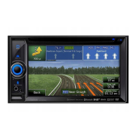
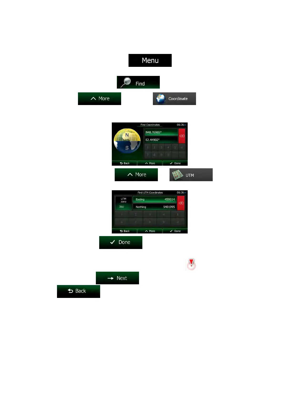
3.1.8 Entering the coordinate of the destination
You can also select a destination by entering its coordinate. Do as follows:
1. If you are on the Map screen, tap
to return to the Navigation
menu.
2. In the Navigation menu, tap
.
3. Open the
menu and tap .
4. You can enter the latitude and longitude values in any of the following formats: decimal
degrees; degrees and decimal minutes; or degrees, minutes and decimal seconds.
5. (optional) If necessary, tap
then and enter
the coordinate in UTM format.
6. When finished, tap
.
7. A full screen map appears with the selected point in the middle. If necessary, tap the
map somewhere else to modify the destination. The Cursor (
) appears at the
new location. Tap
to confirm the destination, or tap
to select a different destination.
NX505E English 59

Table of Contents

Questions and Answers:

Question and Answer IconNeed help?

Do you have a question about the Clarion NX505E and is the answer not in the manual?

Clarion NX505E Specifications

General IconGeneral
Widescreen-
Display diagonal6.2 \
Display resolution800 x 480 pixels
AM band range531 - 1602 kHz
FM band range87.5 - 108 MHz
Supported radio bandsAM, DAB, FM
Built-in cameraNo
Lifetime map updatesRoads change, but with Lifetime Map Updates your map will always be up to date. Start fresh every few months by downloading a new edition of the industry's most accurate map. New editions are issued four times per year.
Storage media typeMemory card
Compatible memory cardsMicroSD (TransFlash)
Product colorBlack
Weight and Dimensions IconWeight and Dimensions
Depth157 mm
Width178 mm
Height100 mm
Weight- g

Related product manuals