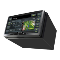
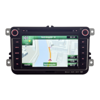
5.1.4 Route calculation and recalculation
Clarion Mobile Map calculates the route based on your preferences:
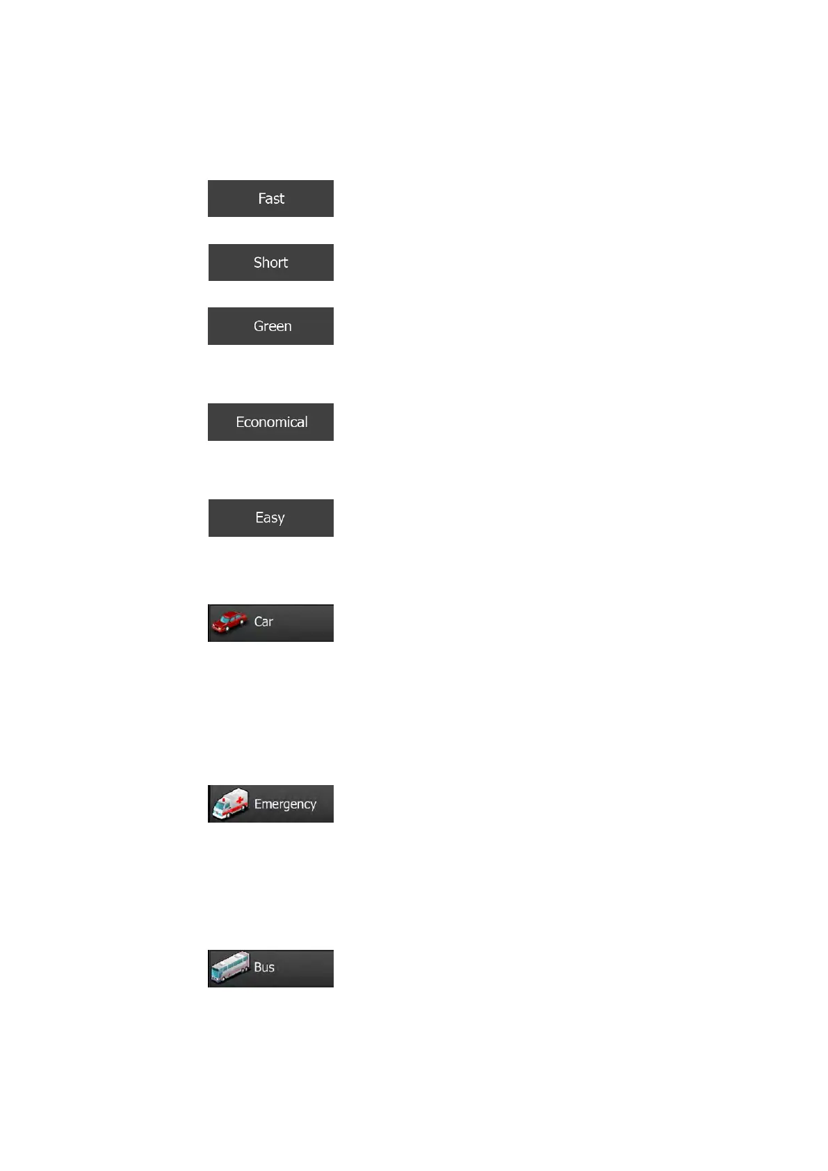
• Route planning methods:
•
: Gives a quick route if you can travel at or near the speed
limit on all roads. Usually the best selection for fast and normal cars.
•
: Gives a route that has the smallest total distance of all
possible routes. It can be practical for slow vehicles.
•
: Gives a quick but fuel efficient route based on the fuel
consumption data given in Route settings (page 88). Travel cost and CO
2
emission calculations are estimations only. They cannot take elevations, curves
and traffic conditions into account.
•
: For vehicle types where Green routing is not available, this
method combines the benefits of Fast and Short: Clarion Mobile Map calculates
as if it were calculating the Fast route, but it takes other roads as well to save
fuel.
•
: Results in a route with fewer turns and no difficult
manoeuvres. With this option, you can make Clarion Mobile Map to take, for
example, the motorway instead of a series of smaller roads or streets.
• Vehicle types:
•
:
• Manoeuvre restrictions and directional constraints are taken into account
when planning a route.
• Roads are used only if access for cars is allowed.
• Private roads and resident-only roads are used only if they are inevitable
to reach the destination.
• Walkways are excluded from routes.
•
:
• All manoeuvres are available in intersections.
• Directional constraints are taken into account the way that opposite
direction is allowed with a low speed.
• A private road is used only if the destination is there.
• Walkways are excluded from routes.
•
:
• Manoeuvre restrictions and directional constraints are taken into account
when planning a route.
• Roads are used only if access for buses is allowed.
NX505E English 79
 Loading...