4 Off-road navigation
When first started, Clarion Mobile Map calculates routes using the road network of the high
quality vector maps provided with the product. You can switch the application to off-road
mode in Route settings in one of the following ways:
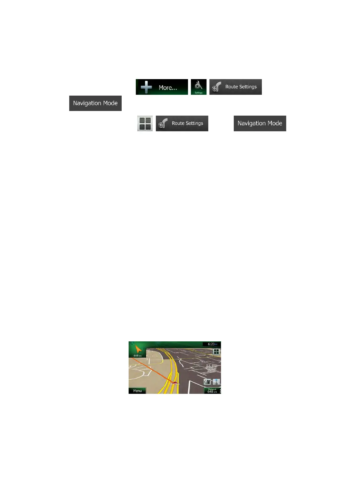
• From the Main menu, tap
, , and then
.
• From the Map screen, tap
, and then .
Most of the procedures described for on-road navigation also apply to off-road navigation.
However, there are some that are not available in this navigation mode (for example you
cannot open the itinerary as you have no manoeuvres just route points and straight lines
between them).
4.1 Selecting the destination of the route
Selecting the start point or a destination (waypoint or final destination) is the same as
described at on-road navigation. The only difference is that route points are linked to form a
route with straight lines regardless of the road network and traffic regulations.
4.2 Navigating in off-road mode
The real difference between the on-road and off-road modes is the navigation itself. When
you are on the Map screen with an off-road route:
• your position and heading is not aligned with the nearest road and
• there is no turn by turn navigation just a recommended direction.
You see a orange line drawn between your current position and the next destination to reach.
The Turn Preview field in the top left corner shows a compass with your bearing and the
distance of the next destination.
When you reach a waypoint, the orange line will show the direction to the next destination.
(Future legs of the route are shown with orange lines.)
When you reach the final destination, navigation ends.
NX505E English 77
 Loading...