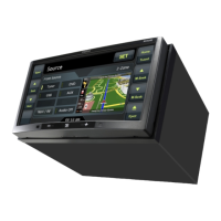
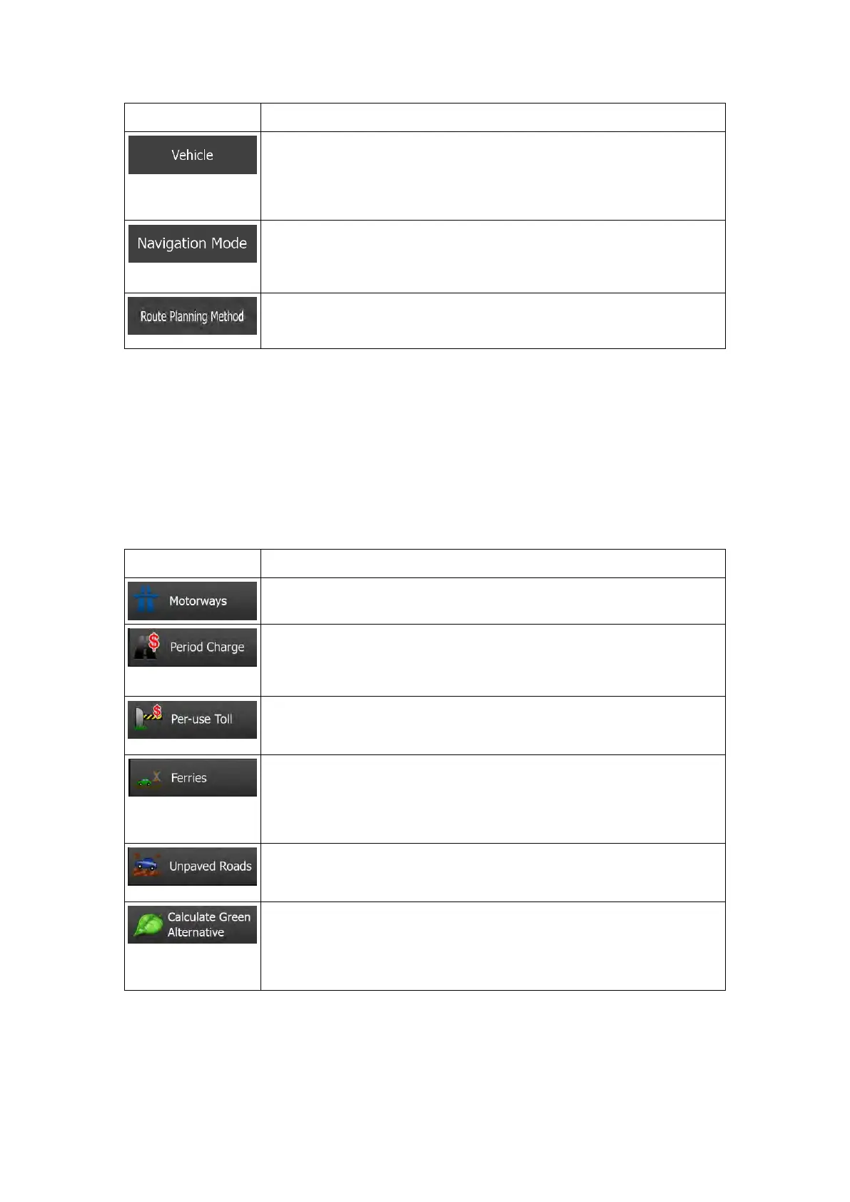
You can set the type of vehicle you will use to navigate the route. Based
upon this setting, some of the road ty
pes can be excluded from the
route, or some of the restrictions may not be taken into account in route
calculation.
On-road navigation creates a turn b
y turn itinerary using the road
network on the map. Switch to off-
road navigation to navigate between
destinations in a straight line.
The route c
alculation can be optimised for different situations and
vehicle types by changing the planning method. See below for details.
To let the route fit your needs, you can also set which road types are to be considered for or
to be excluded from the route if possible.
Excluding a road type is a preference. It does not necessarily mean total prohibition. If your
destination can only be accessed using some of the excluded road types, they will be used
but only as much as necessary. In this case a warning icon will be shown on the My Route
screen, and the part of the route not matching your preference will be displayed in a different
colour on the map.
In the list of road types you can see in how many segments and what total length of the road
type is used in the current route.
You might need to avoid motorways when you are driving a slow car or
you are towing another vehicle.
Charge roads are pay roads where you can purchase a pass or vignette
to use the road for a longer period of time. They can be enabled or
disabled separately from toll roads.
Clarion Mobile Map includes toll roads (pay roads where there is a per-
use charge) in the routes by default. If you disable toll roads, Clarion
Mobile Map plans the best toll-free route.
Clarion Mobile Map includes ferries in a planned route by default.
However, a map does not necessarily contain information a
bout the
accessibility of temporary ferries. You might also need to pay a fare on
ferries.
Clarion Mobile Map excludes unpaved roads by default: unpaved roads
can be in a bad condition and usually you cannot reach the speed limit
If the selected routing method is not Green, you can h
compared to the best green alternative on the screen when confirming
the route. If this alternative is much better than the selected method,
you can quickly switch to Green mode.
NX505E English 89
 Loading...