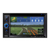
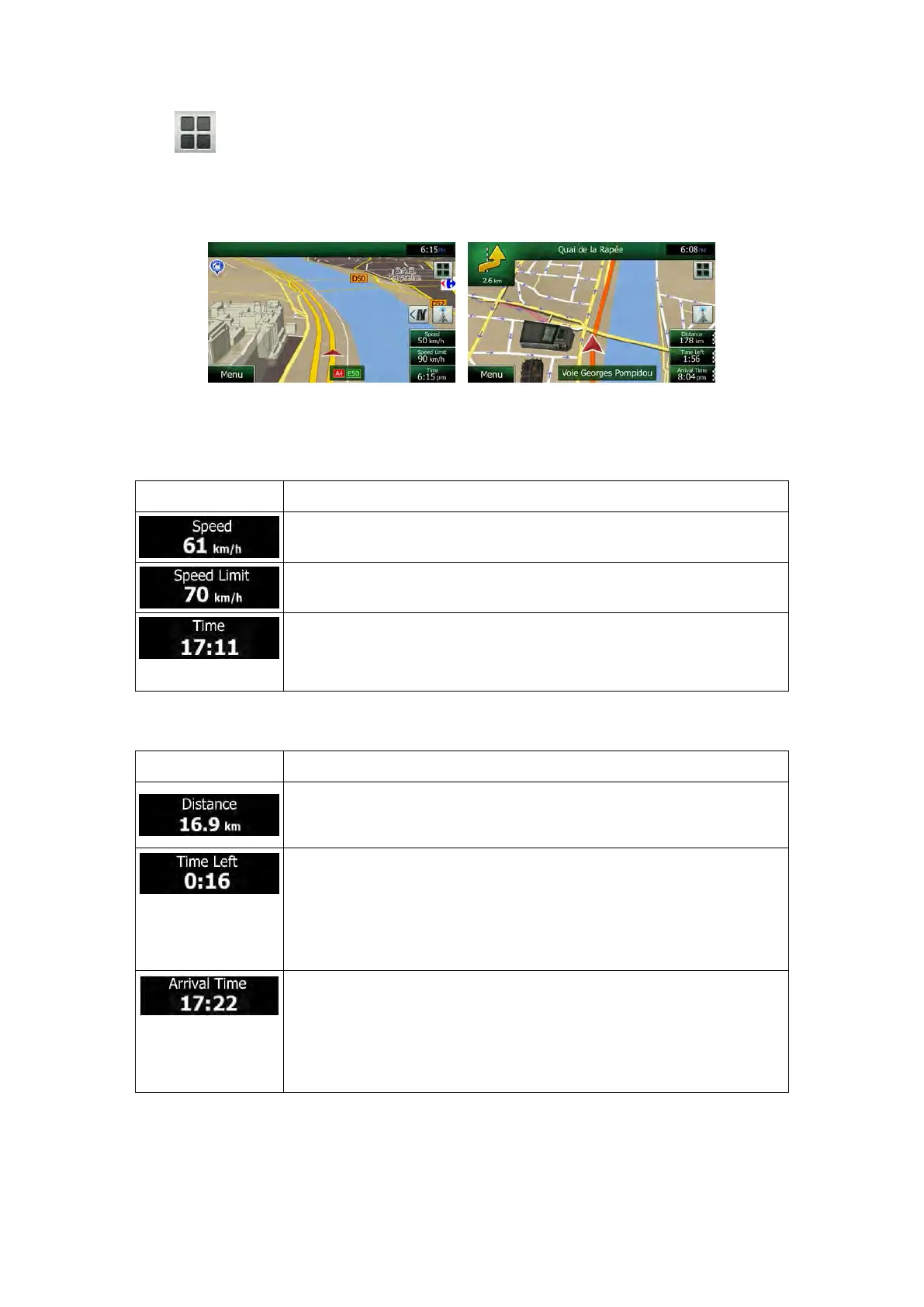
The button gives quick access to frequently used functions. You can change the
available functions in Settings.
By default, only one data field is displayed in the bottom right corner. Tap this field to see all
route data fields. Tap any of the data fields to suppress others and display only the selected
one.
The data fields are different when you are navigating an active route and when you have no
specified destination (the orange line is not displayed).
Default data fields when cruising without a destination (tap and hold any of the fields to
change its value):
Shows your current speed given by the GPS receiver.
Shows the speed limit of the current road if the map contains it.
Shows the current time corrected with time zone offset. The acc
urate
time comes from the GPS satellites, and the time zone information
comes from the map or it can be set manually in Regional settings.
Default data fields when navigating a route (tap and hold any of the fields to change its value):
Shows the distance you need to travel on the route before reaching
your final destination.
Shows the time needed to reach the final destination of the route based
on information available for the remaining segments of the route.
If Clarion NX505E is capable of receiving live traffic inform
calculation takes into account traffic delays affecting your route if they
are received. However, this calculation is rarely accurate.
S
hows the estimated arrival time at the final destination of the route
based on information available for the remaining segments of the route.
If Clarion NX505E
is capable of receiving live traffic information, the
calculation takes into account traffic del
ays affecting your route if they
are received. However, this calculation is rarely accurate.
NX505E English 13
 Loading...