Section 8 Functions of the ECDIS (Option) 8-54
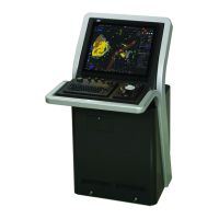
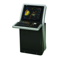
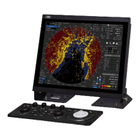
8.13 Displaying Radar Images on a Chart
by Overlaying
Radar images can be displayed by overlaying on the chart.
Note
• To perform overlay display of radar images, the radar function must be installed and radar
images must be received from the radar system.
• If the radar system displays a short-range image and a long-range image on the ECDIS at the
same time, the radar image on the ECDIS may be distorted.
• While the radar image is displayed, the display range can be changed in 11 steps
(0.125/0.25/0.5/0.75/1.5/3/6/12/24/48/96 NM).
• In the case of ARCS charts, the display range varies with the chart to be displayed. If a range
over 120 NM is selected, radar image display automatically turns off.
• The screen display color will automatically change to [Day3] when RADAR Overlay is turned
on. (When the screen display color is Dusk/Night, automatic switching does not occur.)
• When Multi View is used, radar images canot be displayed on View2.
 Loading...