Do you have a question about the JRC JMR-7210-6X and is the answer not in the manual?
Details the procedures for powering the radar system on and off.
Covers adjusting radar display settings for optimal observation.
Explains various operational functions for radar use.
Explains the fundamental concepts and issues related to collision avoidance.
Details how to set up and operate the target tracking function.
Explains how to set up and operate the Automatic Identification System (AIS).
Describes the alerts generated by the target tracking and AIS systems.
Describes the function for simulating own ship's course and speed for collision avoidance.
Covers clutter caused by sea conditions and precipitation.
Explains various causes of false echoes appearing on the radar display.
Covers the procedures for powering on and preparing the ECDIS system.
Covers the overlay display of radar images onto the chart.
Explains the components and functions within the Route Planning dialog box.
Procedure for saving a planned route file.
Describes how to plan a route using table-based input.
Explains how to plan a route graphically on the chart.
Procedure for creating an alternate route while sailing.
Covers checking route data against safety standards and limits.
Enables monitoring of own ship's position, heading, and speed against a planned route.
Used to monitor voyage statuses, course changes, and automatic navigation termination.
Calculates expected WPT arrival time, time required, and ship speed.
Enables comparison of planned route data with actual route data.
Describes how to set a circular or polygonal monitoring area for dragging anchors.
Covers the procedures for starting and ending the dragging anchor monitoring function.
Explains how to change the size or shape, or delete the monitoring area on the chart.
Provides a flowchart outlining the steps to start automatic sailing.
Procedure for selecting a planned route file for automatic sailing.
Step-by-step guide to initiating the automatic sailing function.
Procedure for stopping the automatic sailing function.
Lists and describes alerts that may occur during automatic sailing.
Procedure for manually updating a chart.
Procedure for confirming, accepting, or rejecting updated S-57 chart content.
Covers management of chart data using the Chart Maintenance menu.
Defines user charts as custom maps created by drawing objects not on existing charts.
Procedures for manually updating charts using objects like symbols, lines, and texts.
Outlines the process for creating and editing user charts.
Details the tools available for creating or editing user charts and manual updates.
Step-by-step guide for manually updating ARCS charts within the ECDIS screen.
Procedures for creating and modifying objects during manual ARCS chart updates.
Procedure for manually updating charts using S-57, S-63, or C-MAP data.
Describes creating objects on user charts or during manual updates for S-57/S-63/C-MAP.
Details setting conditions for generating collision avoidance alerts.
Details fundamental settings for radar signal processing.
Explains various processing methods for radar signals.
Details parameter settings for automatic sailing.
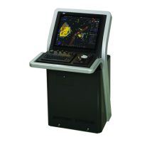
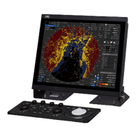
| Antenna Type | Slotted waveguide |
|---|---|
| Antenna Length | 6 feet |
| Operating Temperature | -15°C to +55°C |
| Type | X-Band |
| Frequency | 9410 MHz |
| Display | LCD |
| Range Scales | 0.25, 0.5, 0.75, 1.5, 3, 6, 12, 24, 48 nautical miles |
| Antenna Rotation Speed | 24 RPM |
| Beam Width | Horizontal: 1.2° |