11
Additional Options Menu Items while Routing
Red: Displayed only when going to a geocache waypoint.
Creating a Waypoint for your Current Position
(Please read the section on “Geocaches” for information on creating a geocache for your current
position.)
1. Press MENU to bring up the Options menu.
2. Highlight ‘New Waypoint’ and press ENTER.
3. Optional: Modify the waypoint.
Change Icon: Highlight the current icon and press ENTER. Use the joystick to highlight the icon
desired and press ENTER.
Change Name: Highlight the name field and press ENTER. Use the joystick to enter the new
name. When completed, highlight the green checkmark box and press ENTER.
Add Description: Highlight the description field and press ENTER. Use the joystick to enter the
description. When completed, highlight the green checkmark box and press ENTER.
4. Save the waypoint by pressing MENU and selecting Save from the menu.
Managing Trip
A trip is defined as a recording of your movement or track. This trip can then be viewed in the
Magellan VantagePoint software and provides a permanent record of your travel.
Starting Trip: Press MENU and highlight ‘Start Trip’. Press ENTER. The Trip Odometer and Trip
Timer are reset to zero and, if turned off, track recording is turned on.
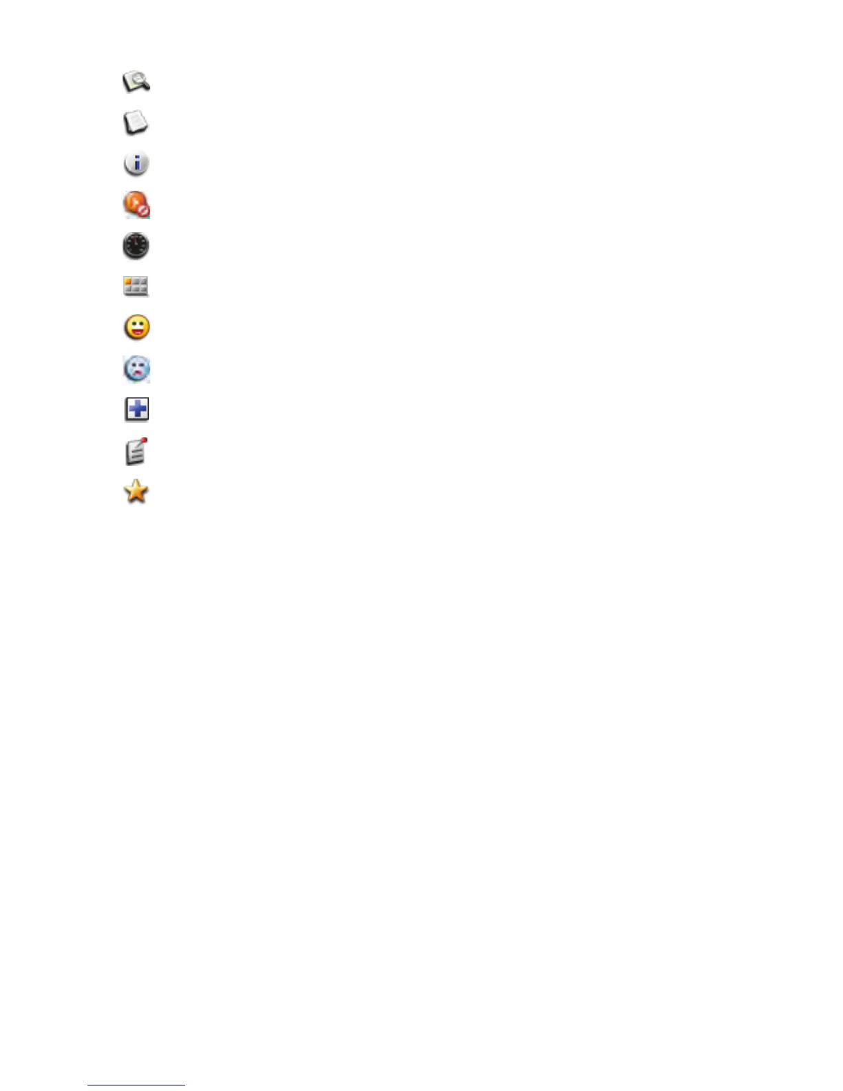
Description View the Description field for the waypoint or geocache.
Recent Logs View geocache recent logs.
Hints View hints for the geocache.
Cancel Route Cancel the route and return to the Map screen.
View Dashboard Display the Dashboard.
Main Menu Access the Main Menu.
Found Flag the geocache as being found.
Not Found Flag the geocache as being not found.
Need Maintenance Flag the geocache as being in need of maintenance and add
comments.
Add a Field Note Add field notes to the geocache.
Favorite Flags waypoint or geocache as user favorite.