83
1
2
3
4
5
6
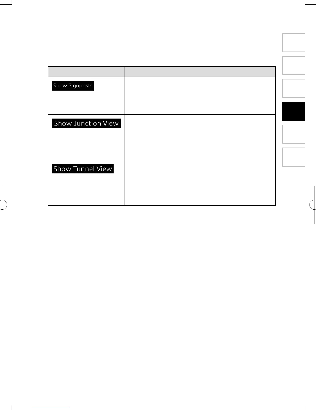
4.2.6 VisualGuidancesettings
Adjust how the software helps you navigate with different kinds of route related
information on the Map screen.
Button Description
Whenever adequate information is available, lane
information similar to the real ones on road signs
above the road is displayed at the top of the map.
You can turn this feature on or off.
If you are approaching a highway/freeway exit or
a complex intersection and the needed information
exists, the map is replaced with a 3D view of the
junction. You can turn this feature on or let the map
be displayed for the whole route.
When entering tunnels, the surface roads and
buildings can be disturbing. This feature shows a
generic picture of a tunnel instead of the map. A top-
down overview of the tunnel and remaining distance
are also displayed.
NAV-12AVUAE.indb 83 2015/02/20 15:09:16