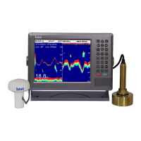
GPSChartPlotter&EchoSounder
27
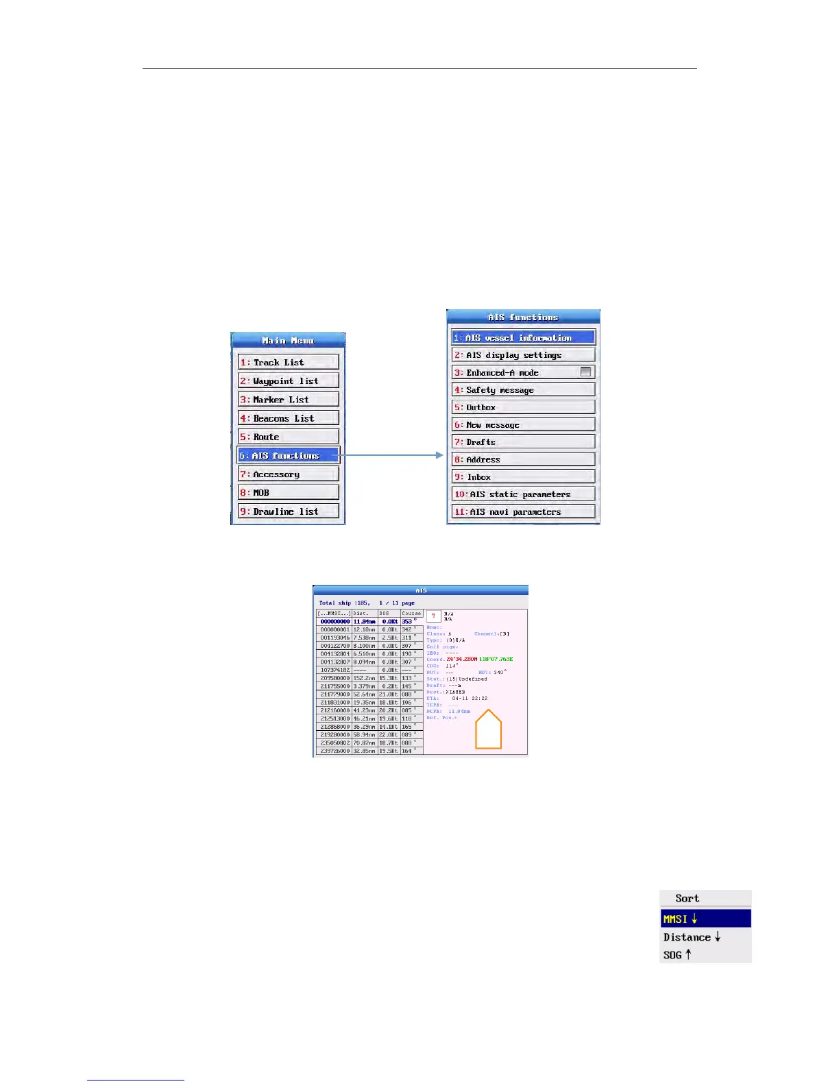
3-1AISOperation
TheGPSnavigator/plottercanbeconnectedwithAISequipmenttoshowtheAISoutputfor
dynamicvessellocationinthechart.Itprovidesintuitivevisionofnearbyships’ information,
suchaslocation,course,speed,MMSI,callsign,nameandsizeetc.whichgivesreferenceand
basisforcollisionavoidanceandnavigationplan.
Note: The 【AISfunctions】menuappearsonlywhenAISequipmentisconnected.
3-1-1AISVesselInformation
Press〖MENU〗toenter【MainMenu】,select【AISvesselinformation】inthe【AISfunctions】,
andpress〖OK〗.
Afterenter【AISvesselinformation】,youcanseethelistasshownbelow:
Allrecognizableshipswillbeshowninthedatawindow.Press〖↓〗〖↑〗toviewthedesiredship
information,suchas,MMSI,name,callsign,coordinate,course,speed,locationtoownship,
anddistancetoownshipetc.
Note: Somestaticparametersmaybereceivedinabout6minutes.
AISSortFunction
1.YoucansortMMSI,Distance,SOGinascendingorderordescendingorder.
2.Whenthemenuisshownontheright,press〖OK〗tosortshipsaccordingtoMMSI
indescendingorder,exceptownship.
3.SortsofDistanceandSOGarethesameasMMSI.