30
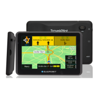
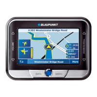
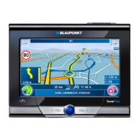
Working with the map
Touch the symbol on the third page
of the Map Settings menu.
A list of the available road maps is
displayed.
Touch the desired road map in the list to
select it.
Selecting units
You can defi ne which units of measure should be
used for distances.
Touch the symbol to change between
kilometres and miles.
Showing/hiding speed and altitude
The route information during navigation can be
expanded by altitude and speed.
Touch the symbol to show (check
mark) or hide (no check mark) alti-
tude and speed.
Aligning the camera
Align the camera image up or down, e.g. for sign-
post recognition (additional functions: ch. "Cam-
era function").
Touch the symbol.
The current camera image is dis-
played.
Touch the buttons to align the
camera image on the horizon.
A horizontal line on the display serves as ori-
entation.
Touch OK to confi rm the setting.
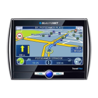
Selecting the map/video display
During route guidance, you can display a map with
2D or 3D view or a video. For the 2D map display,
you can select the map orientation.
Note:
If you select the video display for the route
guidance, the signpost recognition is deacti-
vated. The speed limits from the map material
are used.
쏅
쏅
쏅
쏅
쏅
쏅
쏅
Touch the symbol to change the set-
ting in the add-on menu.
Showing/hiding points of interest at
motorways
During route guidance, the distances to motorway
service points on your route can be displayed,
e.g. motorway restaurants, restaurants, petrol
stations.
Touch the symbol to show (check
mark) or hide (no check mark) dis-
tances to the points of interest.
Showing/hiding destinations on the map and
activating/deactivating POI notes
Points of interest (POIs), own POIs (My POIs) and
destinations from the destination and tour memo-
ry can be shown on the map.
For your own POIs, you can also activate the POI
note. The device calls it to your attention: During
route guidance, a message is shown in time and a
warning beep sounds.
Note:
The enclosed CD/DVD contains an installation
programme with instructions to create your
own POIs.
Touch the symbol.
The Points of Interest menu is
displayed with the following POI
groups:
My Destinations:
Contains home address, saved and last
destinations
Points of interest:
Contains points of interest categories
My POIs:
Contains your own POIs
SD: My POIs:
Contains your own POIs that are stored
on an inserted memory card
쏅
쏅
쏅
–
–
–
–
 Loading...