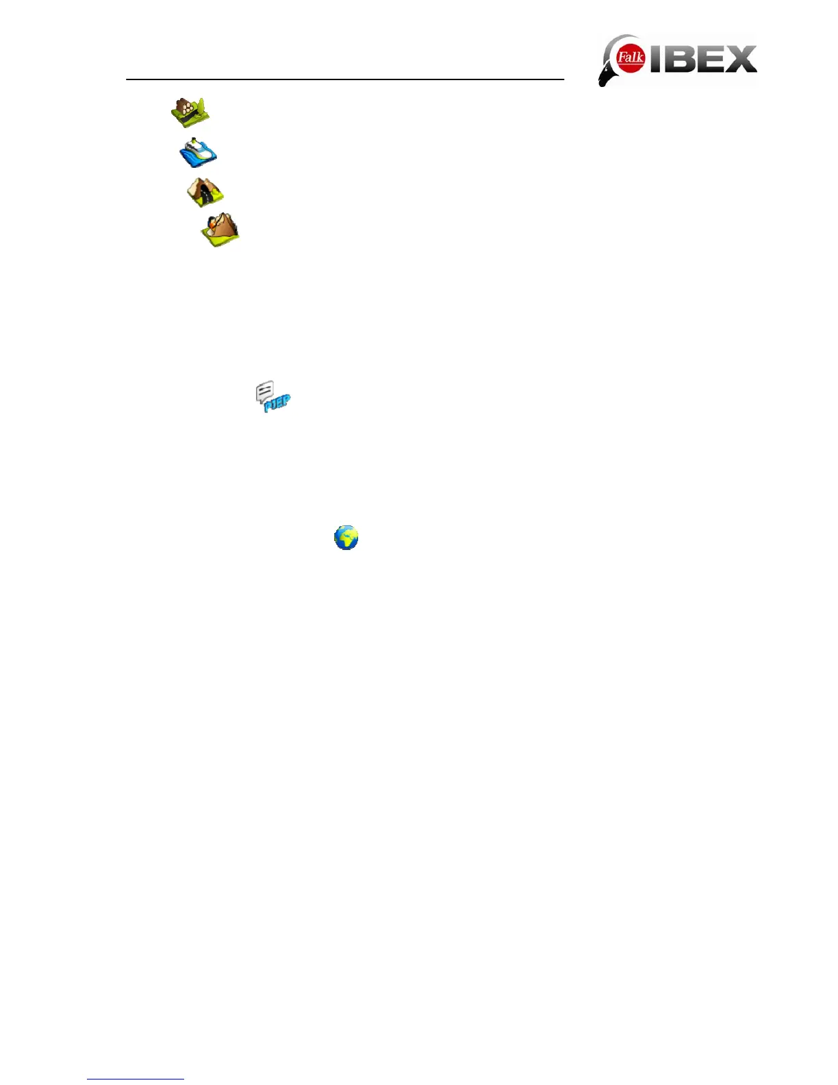
Paths - uses or avoids routes along paths and dirt tracks
Ferries - uses or avoids routes involving ferry connections
Tunnels - uses or avoids routing through tunnels
Via ferrata - uses or avoids going along via ferrata (only in pedestrian mode)
To avoid one of the options, tap on the corresponding symbol. Symbols with a red "X" mean
that the corresponding type of route will be avoided. Symbols with a heart mean that
preference is given to this type of route.
Note: "Avoid" does not mean that these types of routes are completely ruled out. It is always
possible that avoided types of routes will also be used in individual cases.
6.1.2 Set routing
Here you can set whether you want to be guided during navigation by voice output or by a
beeping noise. The voice output issues spoken turn-off instructions with indications of
distance. The beeping noise output warns you with a beep when you are approaching a turn-
off or when you deviate from the calculated route.
Tip: The beeping noise output saves battery capacity compared with voice output.
6.1.3 Stipulate country map
If you have installed several maps on your device, here you can select the map you want
from a list. In addition to the preinstalled country map, you can also purchase further maps
for your device.
Two different map types are available to choose from here:
Basic Map Plus
The Basic Map Plus is an OpenCycleMap/OpenStreetMap prepared specifically for the
products of Falk Outdoor.
It is a simplified outdoor map but still fully routable. The map shows a more or less
comprehensive network of routes and in some places also cycle paths and footpaths
(depending on the data provided by OpenCycleMap/OpenStreetMap).
In contrast to the Premium Outdoor Map, this map is not quality-tested but rather is based on
the information provided by a free community on the internet. For this reason, there is no
road classification and there may be limitations in the quality of routes. The coverage of the
network of routes is less than that of a quality-tested Falk Premium Outdoor Map. The map
shows a simpler representation of the surface area and contains fewer points of interest.
However, the familiar design of the Falk Premium Outdoor Map has been kept in order to
make it simple to embrace the world of outdoor navigation of Falk Outdoor.
Basic Maps Plus are offered for a large number of European countries. Others will follow and
can be downloaded and transferred to the device via the Falk Navi-Manager. It is also
possible to navigate by moving from a Premium Outdoor Map to a Basic Map Plus.
Falk IBEX User Manual 27