190-02692-00 Rev. A
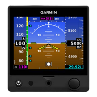
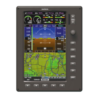
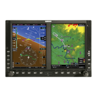
Garmin G1000 Pilot’s Guide for the Piper PA-32 Saratoga
21
SYSTEM OVERVIEW
SYSTEM
OVERVIEW
FLIGHT
INSTRUMENTS
EIS
AUDIO PANEL
& CNS
FLIGHT
MANAGEMENT
HAZARD
AVOIDANCE
AFCS
ADDITIONAL
FEATURES
APPENDICES INDEX
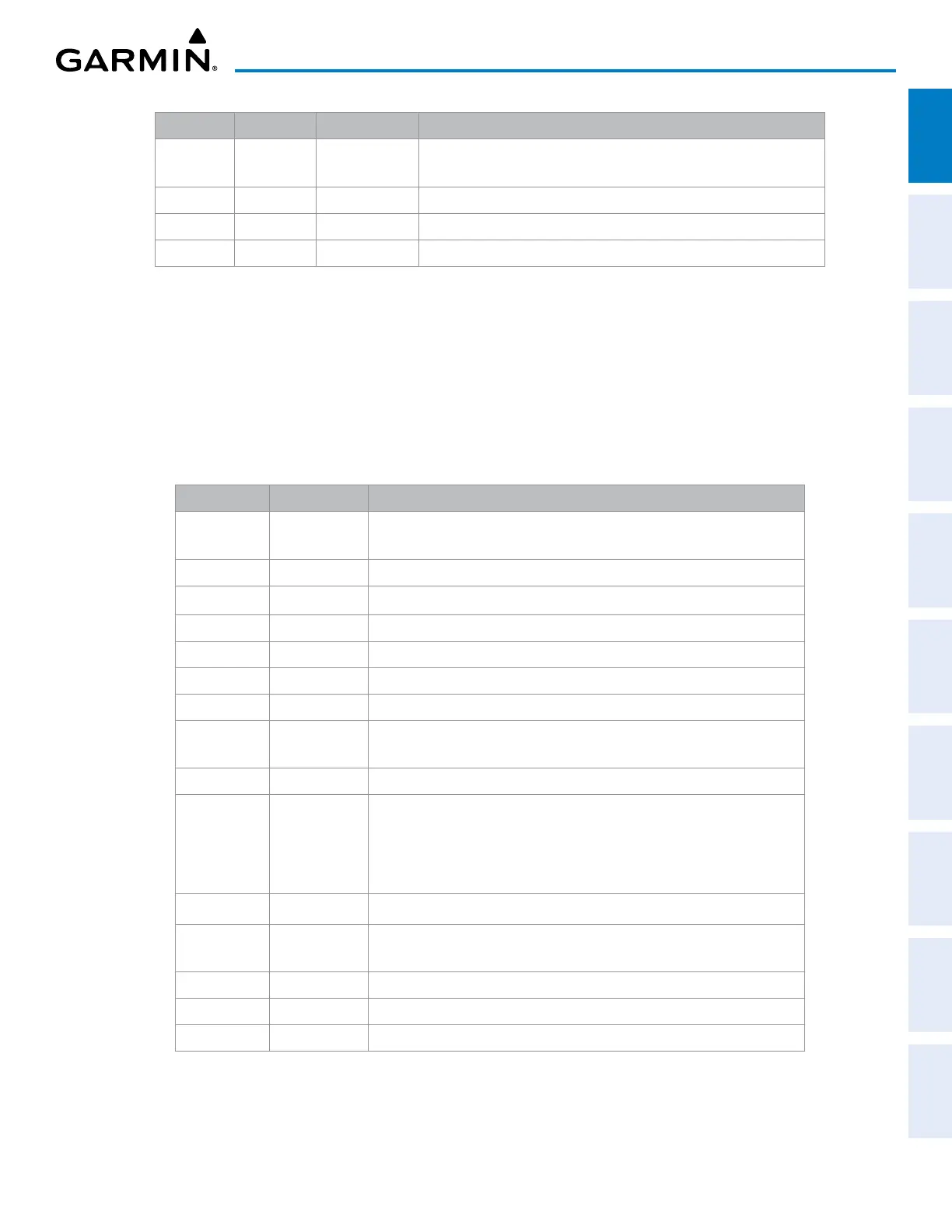
Level 1 Level 2 Level 3 Description
SYSTEM Displays the DEC FUEL, INC FUEL, and RES FUEL
softkeys
DEC FUEL
Decreases gallons remaining by one gallon for each press
INC FUEL
Increases gallons remaining by one gallon for each press
RST FUEL
Resets fuel used to zero and gallons remaining to full
Table 1-3 PFD Softkeys – Reversionay Mode
MFD SOFTKEYS
The MFD softkeys allow controlling and viewing of many functions, including engine instruments, fuel
system data, GPS, communication, navigation, flight planning, terrain, traffic, and weather. Each softkey
sublevel has a BACK Softkey which can be selected to return to the previous level. The ALERTS Softkey is
visible at all softkey levels. The label changes if messages are issued. MFD softkeys vary depending on the
page selected. MAP – NAVIGATION MAP Page (default MFD page) softkeys are described here.
Level 1 Level 2 Description
ENGINE Displays the DEC FUEL, INC FUEL, and RST FUEL softkeys
available
DEC FUEL
Decreases gallons remaining by one gallon for each press
INC FUEL
Increases gallons remaining by one gallon for each press
RST FUEL
Resets fuel used to zero and gallons remaining to full
MAP
Enables second-level Navigation Map softkeys
TRAFFIC
Displays traffic information on Navigation Map
PROFILE
Displays/removes profile view on Navigation Map
TOPO
Displays topographical data (e.g., coastlines, terrain, rivers, lakes) and
elevation scale on Navigation Map
TERRAIN
Displays terrain information on Navigation Map
AIRWAYS
Cycles through choices of airway information
- AIRWY ON – Displays all airways
- AIRWY LO – Displays low altitude airways only
- AIRWY HI – Displays high altitude airways only
STRMSCP
Displays/removes Stormscope data on Navigation Map (optional)
NEXRAD
Displays NEXRAD weather and coverage information on Navigation
Map (optional)
XM LTNG
Displays XM lightning information on Navigation Map (optional)
METAR
Displays/removes graphical METARs on Navigation Map (optional)
LEGEND
Displays/removes METAR legend on Navigation Map (optional)


 To Next Page