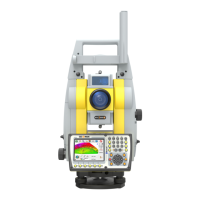
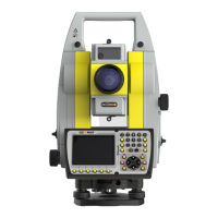
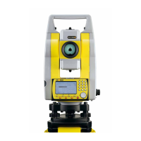
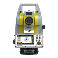
Zoom80 | 50Operation
3. Turn on the instrument by pressing PROG for 2 s. Press SHIFT (F12)
to access STATUS Level & Laser Plummet, activating the laser
plummet.
4. Move the tripod legs (1) and use the tribrach footscrews (6) to centre
the plummet (4) over the ground point.
5. Adjust the tripod legs to level the circular level (7).
6. By using the electronic level turn the tribrach footscrews (6) to
precisely level the instrument.
7. Centre the instrument precisely over the ground point (4) by shifting
the tribrach on the tripod plate (2).
8. Repeat steps 6. and 7. until the required accuracy is achieved.
Step Description

 Loading...
