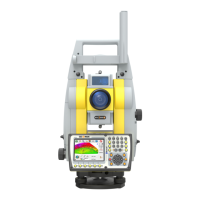
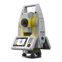
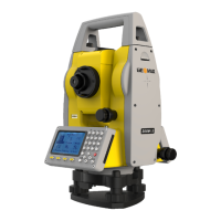
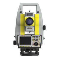
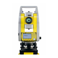
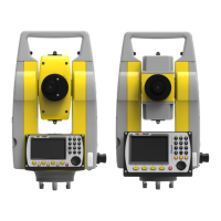
Do you have a question about the GeoMax Zoom10 and is the answer not in the manual?
This can result in a file system error and data loss!
Do NOT remove the battery during operation or shutdown.
Identifies hazards associated with product use and provides precautions.
Provides instructions and training on laser safety according to standards.
Provides instructions for charging and handling the instrument's battery.
Describes how to set up the instrument over a ground point using the laser plummet.
Details how to start and use the Quick-Survey application for measurements.
Provides guidelines for accurate distance measurements using EDM modes.
Defines settings for EDM measurements, including reflector and distance modes.
Provides tools for electronic calibration to maintain instrument accuracy.
Calculates target point coordinates using offset values.
Calculates target point coordinates using length, travel, and height offsets.
Determines coordinates of cylindrical objects and their radius.
Calculates target point coordinates using angle offsets.
Method for setting up a station by computing new height from known points.
Measures a point that is not directly visible using a special hidden point rod.
Sets the station coordinates and height for measurements.
Sets the orientation of the station using manual or coordinate methods.
Explains how to set the orientation manually via azimuth and reflector height.
Sets the backsight point coordinates to determine orientation.
Determines instrument position by measuring to known points.
Performs coordinate geometry calculations like points, bearings, and distances.
Calculates distance, direction, height difference, and grade between two points.
Calculates new point position using bearing and distance from a known point.
Calculates intersection points of lines using various methods.
Calculates intersection of two lines defined by point and direction.
Calculates intersection of line and circle defined by point, direction, and radius.
Explains the importance of calibration and when it is recommended.
Step-by-step guide to measure and adjust the vertical index error.
Instructions for adjusting the x and y directions of the vertical compensator axis.
| Type | Total Station |
|---|---|
| Angle Accuracy | 5" |
| Magnification | 30x |
| Laser Plummet | Yes |
| Protection Class | IP54 |
| Display | Color LCD |
| Interfaces | RS232 |
