New
Area
To define a new area.
Graph To display the area graph.
Add PT To add a new target point to the
existing area.
Perimeter are updated if further area points are added.
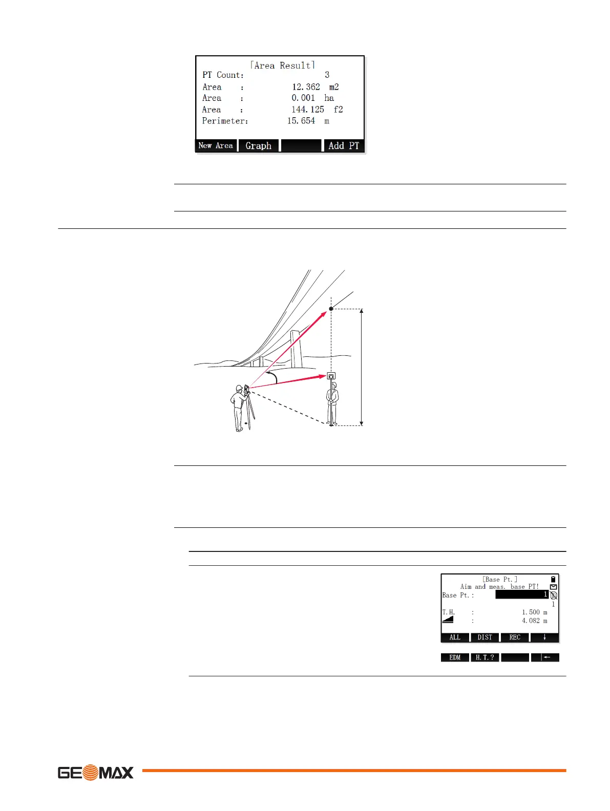
9.7 Remote Height
Remote Height is an application used to compute points directly above the base prism without a
prism at the target point.
P0 Instrument station
P1 Base point
P2 Remote point
d Height difference from P1 to P2
S Slope distance
α Vertical angle between base point
and remote point
1. Select Program (2) from the Main Menu.
2. Press the PAGE key to display screen 2. Select Remote Height (6) from the Program
menu.
3. Complete application pre-settings. Refer to "8 Applications - Getting Started".
4. Select Start to open the application.
1. Move the reflector directly beneath the remote point.
2. Aim at the reflector.
3. Base Pt. screen
Enter the reflector height.
To start measuring and save the measured values,
press ALL or DIST+REC.
Result screen
☞
Description
Access
Remote height measure-
ment
Application 61

 Loading...


