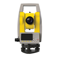
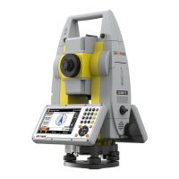
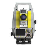
Do you have a question about the GeoMax ZOOM 10 and is the answer not in the manual?
Feedback on instruments, version, purchase date, and suggestions.
Company's right to upgrade, pictures for reference.
Absolute coded dial, No prism ranging, Special measurement procedures.
Powerful memory management, changeable eyepiece, optional laser plumb.
Guidelines for temperature, storage, transport, and general care.
Instructions for instrument inspection, maintenance, and laser eye safety.
Details on required elements for safety instructions.
Guidelines for safe operation and handling of laser equipment.
Details on harmful distances and laser beam dangers.
Statements regarding device compliance with FCC and Industry Canada regulations.
Recommendations for resolving radio or television reception interference.
Compliance with FCC and Canada exposure limits for uncontrolled environments.
Restrictions on operating the transmitter with other antennas or transmitters.
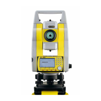
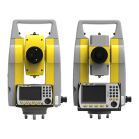
Identification of the main external components of the total station.
Explanation of the purpose of each key and soft key on the instrument.
Description of the screen layout and data presentation.
Procedures for safely unpacking and storing the total station.
Steps for correctly setting up the instrument on a tripod.
Procedures for centering the instrument using optical or laser tools.
Instructions for inserting and removing the instrument's battery.
Explanation of battery status indicators and usage time.
Precautions and advice for charging the instrument's battery.
Details on entering numerical data in specific input fields.
Details on entering alphanumeric data in text fields.
Specifies the character set supported for input.
Explains how each key maps to characters and numbers.
Method for finding measured or fixed points by entering their exact number.
Important notes and considerations for performing distance measurements.
Options for selecting different EDM measurement modes (Single, Repeat, etc.).
How to configure the instrument for different reflector types (Prism, NP).
Procedure for entering prism constants for accurate distance measurements.
How the instrument corrects for atmospheric refraction and earth curvature.
Formulas for calculating altitude factor, scale factor, and grid factor.
How to calculate grid distance using the grid factor.
Function to display and adjust the intensity of the received EDM signal.
Procedure for setting the horizontal angle (HA) to zero or a desired value.
Steps to input point identifier and instrument height before measuring.
Process of aiming at the prism and initiating measurement to record data.
Basic steps for entering and recording point codes during measurement.
How the compensator manages instrument tilt for accurate leveling.
Function for measuring points that are not directly visible or accessible.
Procedures for creating, selecting, and managing measurement jobs.
Method to retrieve station coordinates from memory using point names.
Setting the orientation manually by inputting azimuth and point name.
Overview of the surveying application and its sub-applications.
Procedures for creating, selecting, and managing measurement jobs.
Method to retrieve station coordinates from memory using point names.
Setting the orientation manually by inputting azimuth and point name.
Overview of the surveying application and its sub-applications.
Steps to select or input the point for stakeout operations.
Determining instrument station coordinate by measuring known points.
Method for computing tie distances between continuous points (P1-P2, P2-P3).
Calculating polygon areas using measured or input target point coordinates.
Formula and procedure for measuring remote height when prism height is known.
Calculating plane coordinates using bearing and distance from a known point.
| Brand | GeoMax |
|---|---|
| Model | ZOOM 10 |
| Category | Measuring Instruments |
| Language | English |
