38
Datum
A datum is something used as a basis for calculating and measuring. In the case of GPS, datums are
different calculations for determining longitude and latitude for a given location.
Currently, Geocaching uses the WGS84 datum for all caches. Many maps still use NAD27, which can
cause confusion if your GPS receiver is set to NAD27. Always check your GPS to ensure that WGS84
is the datum before entering a cache coordinate into your receiver.
DNF
Did Not Find. An acronym used by geocachers to state that they did not find a cache. This is also a
type of online log on Geocaching.com and is useful for alerting cache owners of potential issues.
Cache owners who repeatedly receive "Did Not Find" logs should check to see that there cache has
not been removed.
D/T
Geocaches are rated in two categories, each designated on a 5-point scale. Difficulty relates to the
mental challenge of finding a cache and terrain describes the physical environment. A 1/1 difficulty/
terrain rating would the easiest cache to find, while a 5/5 difficulty/terrain rating would be the most
difficult.
EarthCache
This is one of several unique cache types. An EarthCache is a cache that promotes geoscience
education. Visitors to EarthCaches can see how our planet has been shaped by geological processes,
how we manage the resources and how scientists gather evidence to learn about the Earth.
Event Cache
This is one of several unique cache types. Events are gatherings set up by local geocachers and
geocaching organizations to meet players and to discuss geocaching.
FTF
First to Find. An acronym written by geocachers in physical cache logbooks or online when logging
cache finds to denote being the first to find a new geocache.
GC Code
A unique identifier associated with every geocache listing. The GC Code starts with the letters "GC"
and is followed by other alphanumeric characters.
Geocache
A container hidden that includes, at minimum, a logbook for geocachers to sign.
Geocaching
Geocaching is a worldwide game of hiding and seeking treasure. A geocacher can place a geocache
in the world, pinpoint its location using GPS technology and then share the geocache's existence and
location online. Anyone with a GPS receiver can then try to locate the geocache.
Geocoin
Geocoins work similarly to Groundspeak Travel Bugs® in that they are trackable and can travel the
world, picking up stories from geocache to geocache. Geocoins are often created as signature items
by geocachers and can also be used as collectibles.
GPS
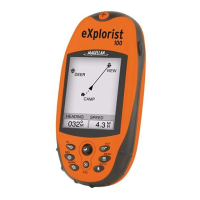
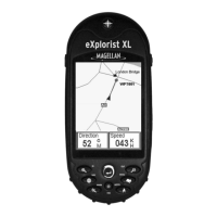
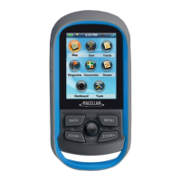
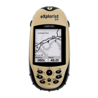
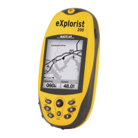
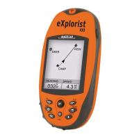
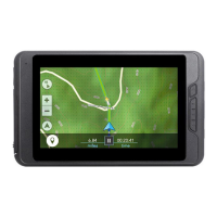
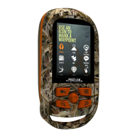
GPS stands for Global Positioning System. It is a system of satellites that work with a GPS receiver to
determine your location on the planet.
 Loading...

