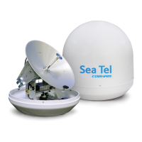
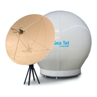
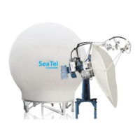
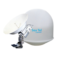
ST94-21 C/Ku-Band TVRO Maintenance and Troubleshooting
13.7.12. Remote GPS LAT/LON Position:
The above decks equipment has an integrated on board Furuno GPS antenna system. The Latitude and
Longitude position information provided are utilized to calculate the Azimuth, Elevation, Cross-level and
Polarity pointing angles of the desired satellite. The DacRemP “Comm Diagnostics” Window provides a
means to query the GPS antenna to verify proper operation. The procedure below describes this process.
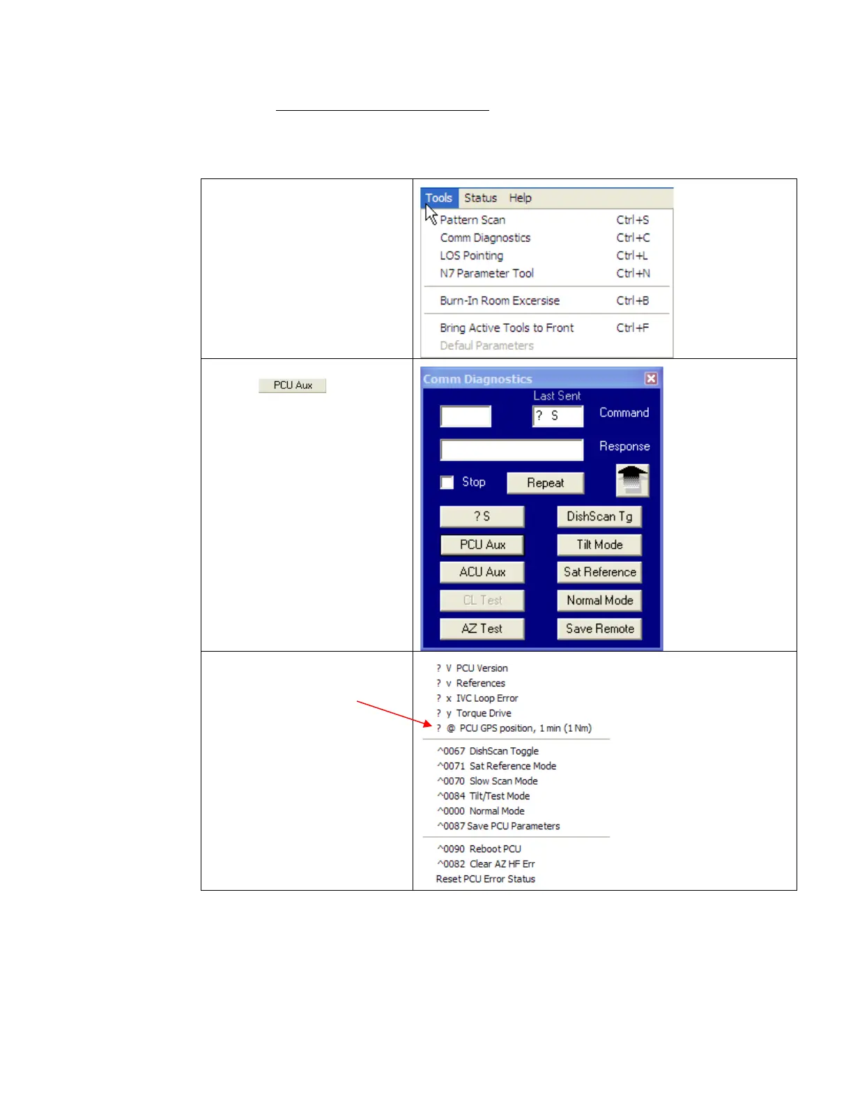
1. Select the “Comm
Diagnostics” window
under to the Tools
submenu or Press “CTRL +
C”
2. Left mouse click on the
icon.
3. Left Mouse click on the
“?@ PCU GPS position, 1
min (1 Nm)”
EAR Controlled - ECCN EAR99