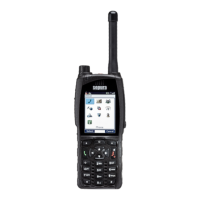
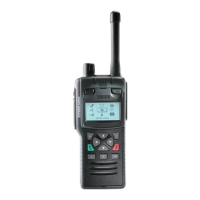
Latitude and Longitude values.
Fix indicates how accurate the reading is:
2D indicates that less than four satellites were used to determine the
position
3D indicates that at least four satellites were used.
The first number in brackets reports how many GPS satellites were
used. (‘0’ indicates that no satellites were used; ‘-‘displayed as the
second number means that GLONASS is not supported.)
Age shows how long ago the position was first displayed; to refresh the
reading press Locate again.
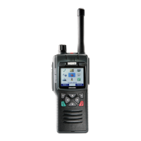
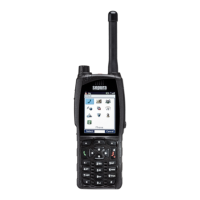
GPS direction
To read the direction your radio is moving
1. Select Menu > GPS > Direction.
The Direction screen gives information about the current direction and speed
of travel. If the radio is stationary no information is displayed. However if the
radio becomes stationary after a period of movement the direction
information is displayed for five seconds to give you time to view it.
Direction is reported in degrees from North
Speed is reported in either km/h or miles/h depending on the
customisation.
User Guide
123
 Loading...