36 |
Waypoint procedures | RS90S User Manual
Waypoint procedures
A waypoint refers to the latitude, longitude and name of a place that
you have entered into the radio. A waypoint can be a destination, a
point along a planned course, or any location useful for navigation,
such as a fishing spot.
You can use waypoints as follows:
• Display the coordinates, bearing and distance to a waypoint on the
standby screen. See “Navigating to a waypoint” on page 38.
• Output a waypoint’s coordinates and other details via NMEA 2000
for display on a chart plotter or other compatible device. See
“Sending waypoint data to a chart plotter” on page 39.
¼ Note: The RS90S can store up to 200 waypoints.
Adding a new waypoint
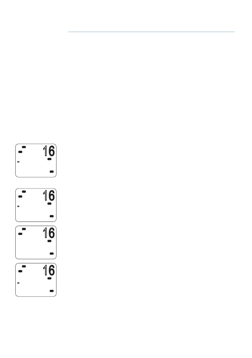
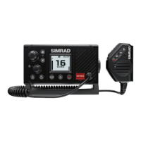
1. Select MENU → WAYPOINT → WP LIST.
Your waypoint list will be displayed.
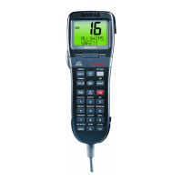
2. Press [OK].
NEW WP starts to flash.
3. Press [OK] again to add a new waypoint.
4. Enter a waypoint name (maximum 6 characters).
5. Enter the latitude. Use ▲ or ▼ key to select N or S as required, and
then press [OK] to move to the longitude setting.
6. Enter the longitude. Press [OK] once you have selected E or W.
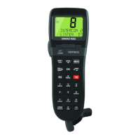
7. When prompted, select YES or NO to save the new waypoint.
¼ Note: When the waypoint list is full, you must delete an entry before
you can create a new entry.
4
MENU SELECT
WAYPOINT
N2K DATA
VOICE REC
BACKLIGHT
USA
C
Hi
DSC
PRI
WAYPOINT
NEAREST WP
WP LIST
USA
C
Hi
DSC
PRI
WP LIST
NEW WP
USA
C
Hi
DSC
PRI
SAVE
YES
NO
Lo
USA
C
Hi
DSC
PRI