64 |
AIS procedures | RS90S User Manual
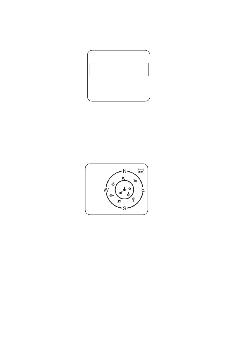
List of nearby vessels
The MMSI list displays a list of vessels within VHF range. As in below
example, the list is arranged in ascending order; closest first.
Each vessel’s MMSI (or name, depending on AIS setup) will be
displayed, together with its bearing and distance from your position.
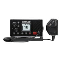
PPI display
The Plan Position Indicator (PPI) shows the geographical location of
AIS targets with respect to your position, which is represented in the
centre of the circular display. See example below:
Symbols
• The solid circle in the middle is your vessel.
• Hollow diamonds represent vessels that are within the current zoom
distance.
• The solid diamond is the selected target vessel.
• The tails represent course over ground.
¼ Note: Units on the PPI display are always nautical miles.
To zoom in or out:
• Press [3CH] to zoom in.
• Press [Scan] to zoom out.
Scales available are 1nm / 2 nm / 4 nm / 8 nm / 16 nm / 32 nm.
1 SEASPRAY
225 0.59nM
2 SUNBIRD
275 1.43nM
8nMMMSI LIST 1/2
AIS CHART 1/9 8