_________________________________________________________
Units
Unless otherwise stated, all values shown on the display are as follows:
Speed Knots
Distance (Vessel) Nautical miles
Depth Meters
Tilt ° Degrees
Temperature ° Centigrade
Rotation Degrees per minute
Heading Degrees
Abbreviations
In addition, the following symbols are used
WT Water track
BT Bottom track
STW Speed through water
SOG Speed over ground
Trip Text for trip/total
ECDIS Electronic Chart Display and Information System
INS Inertial Navigation System
VDR Voyage Data Recorder
ROT Rotation from Gyro
GYRO Gyroscopic heading / rotation sensor
HDG Heading
DL2 2 Axis Doppler Log (with speed over bottom and Speed through water)
DL1 1 Axis speed through water sensor (part of DL21 system)
DL21 A system with combined DL1 and DL2 in the same housings
UDP User Datagram Protocol.
SFI System function Id
LAN Local Area Network
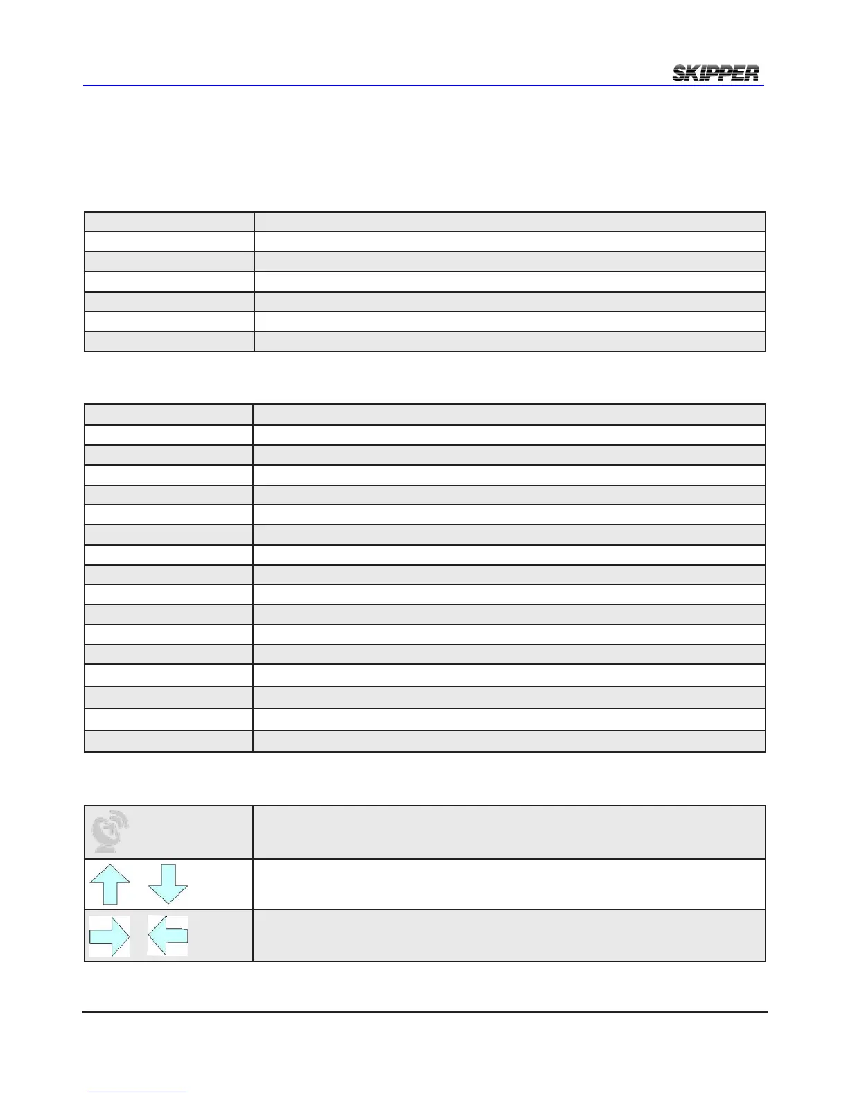
Symbols
In addition, the following symbols are used
Indicating that the information presented is partly from the GPS input, and therefore not
from this sensor. (Outputs may show invalid data in this mode)
Symbolising that the data presented is longitudinal (forward or backwards)
Symbolising the data is transversal (port or starboard)