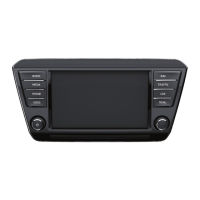
Range selector key MAP56
Function “Click on map”*
When pressing on the point of interest, fav. destinations, TMC symbol or on congestion
ahead, the information regarding the relevant object is displayed. In the event that
several symbols are arranged one above the other and the system does not detect
which symbol has been pressed, first a list of objects is displayed.
Note
• The activated function “Autozoom” { will be deactivated again if the map scale is
changed manually with the set button.
• A “Flagdest.” saved with the function key must be renamed in the destination
memory if it should not be overwritten by the following flagged destination.
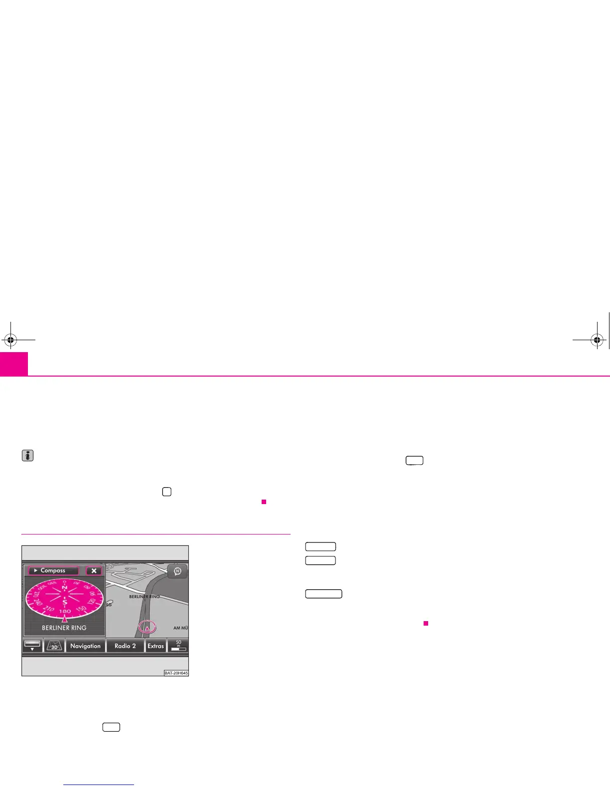
Location display without route guidance
Map display with split-screen in the compass display.
“Searching” the map
– Press the selector key to change over to map display.
– Turn the menu button in the map display to alter the map scale ⇒ page 54, “Scale
modification and display”.
– Press on the touch-screen with your finger and move it along across the touch-
screen without lifting it to move the displayed map section.
– Press the function key with the symbol 5, 6 or 7, and select a different type of
display in the pop-up window ⇒ page 53, “Change the type of display”.
Split-screen in the map display
– Press the range selector key in the map display to insert the split-screen.
– Press the function key at the top left in the split-screen ⇒ fig. 25.
– Choose one of the possible displays by pressing your choice in the pop-up
window.
The right or left position of the split-screen can be selected in the set-ups ⇒ fig. 25.
Display options in the split-screen
- shows a compass display with the current direction of travel.
- shows the map with the vehicle position in the split-screen. Press once on
the map in the split-screen to change the map display. You can change the display
options in the following menu as described ⇒ page 53, “Map display”.
- shows the coordinates of the current vehicle position. The number of
satellites received will also be displayed. At least five satellites must be received simul-
taneously to enable the absolute height above sea level to be displayed behind the
mountain symbol (Display: “3D Fix”).
$
Fig. 25 Map display with split-
screen in the compass display.
MAP
MAP
Compass
Pos. map
GPS Viewer
s32k.a.book Page 56 Friday, September 18, 2009 1:54 PM
 Loading...