Range selector key MAP 53
Range selector key MAP
Map display
By pressing the range selector key you can move from any menu into the map
display.
Pressing the range selector key will open or close an split-screen in the map
display, where further information can be displayed and selected ⇒ page 56, “Split-
screen in the map display”.
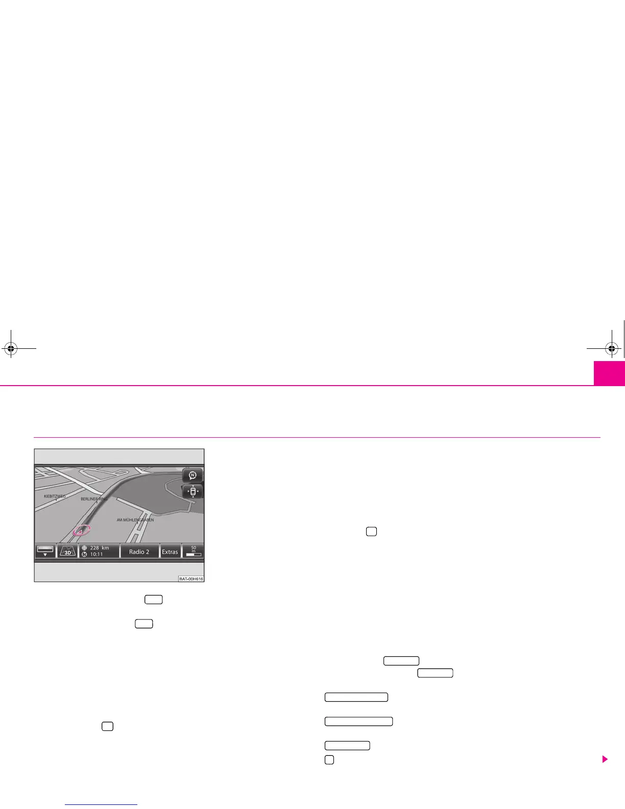
During route guidance the map display will differ in some points from the “normal”
map display. During the route guidance the driven route will be highlighted, symbol
9, shows the current vehicle position ⇒ fig. 24 - in the bottom line behind the third
function key and the distance to the destination and, behind the estimated time
of arrival or driving time will be displayed.
Parts of the road ahead can also be blocked manually during route guidance.
Use the function key to insert or fade out the bar with the function keys in each
display.
Center the map display for vehicle position or travel destination
You can move the indicated map section by pressing your finger on the touch-screen
and sliding it over the touchscreen.
If you have moved the touch-screen section, a further function key will be faded in at
the top right under the compass display function key ³ ⇒ fig. 24. Pressing this func-
tion key will center the map again for the current vehicle position.
In some map displays you can center the display of the travel destination with the
function key .
Change the type of display
The symbol in the second function key 5, 6 or 7 shows the currently selected type
of display. To change these, briefly press press the function key and select a different
type of display in the pop-up window by pressing the selection again.
5-2D - Two-dimensional: Plan view of a conventional map display.
6-3D - Three-dimensional: Map display, diagonally from the front in bird's-eye
perspective.
7-Topographic - Plan view of a conventional map display with coloured display of
various terrains (Mountains, Valleys etc.).
The function key in the map display without route guidance
Pressing on the function key will open a pop-up window with settings for
navigation.
- starts route guidance or continues route guidance to the travel
destination selected in the main menu Navigation.
- calls up the menu New dest. to change the travel destination
selected in the main menu Navigation.
- to change the parameters for route calculation.
- stores the current vehicle position as flagdest. in the destination memory.
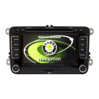
Fig. 24 3D map display during a
 Loading...