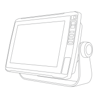
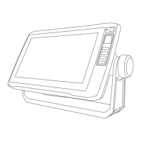
Device Keys
Turns on and off the device when held.
Opens a shortcut menu to backlight, color mode, and sonar transmission when quickly pressed
and released.
Scrolls through the brightness levels when pressed repeatedly.
Zooms out of a chart or view.
Zooms in to a chart or view.
Scrolls, highlights options, and moves the cursor.
SELECT Acknowledges messages and selects options.
BACK Returns to the previous screen.
MARK Saves the present location as a waypoint.
HOME
Returns to the Home screen.
Takes a screenshot when held.
MENU
Opens a menu of options for the page, when applicable.
Closes a menu, when applicable.
Takes a screenshot when held.
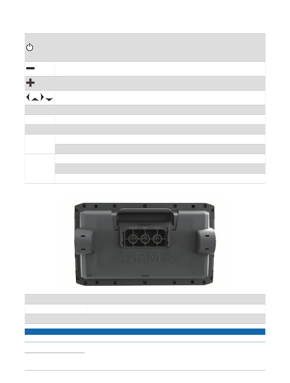
ECHOMAP Plus 60 Connector View
POWER Power and data sharing
1
N2K NMEA 2000
®
network
XDCR 4-pin transducer
NOTICE
To prevent corrosion of the metal contacts, cover unused connectors with weather caps.
1
If you are not connecting NMEA
®
0183 devices or another chartplotter to share data, disregard the blue and brown wires.
4 Introduction