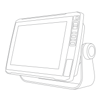
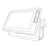
9-Inch Models
Specification Measurement
Dimensions on cradle and bail mount (W x H x D) 30.3 x 17.8 x 6.5cm (11.9 x 7x 2.6in.)
Display size (W x H)
19.9 x 11.3cm (7.8 x 4.8in.)
22.9cm (9in.) diagonal
Display resolution WVGA, 800 x 400pixels
Weight 1kg (2.3lb.)
Compass-safe distance 65cm (25.6in.)
Clearance to nearest obstruction 11.5cm (4.5in.)
Max. power draw 18W
Typical current draw at 12Vdc (RMS) 1A
Max. current draw at 12Vdc 2.4A
Wireless frequency 2.4 GHz @ 18.5dBm maximum
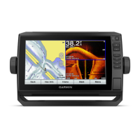
Sonar Models Specifications
Specification Measurement
Sonar frequencies
8
Traditional: 50, 77, 83, or 200kHz
CHIRP Garmin ClearVü: 260, 455, or 800kHz
CHIRP SideVü: 260, 455, or 800kHz
Sonar transmit power (RMS)
9
500W
Sonar depth
10
701m (2,300ft.) at 77 kHz
8
Dependent upon the transducer.
9
Dependent upon the transducer rating and depth.
10
Dependent upon the transducer, water salinity, bottom type, and other water conditions.
Appendix 115