EasyManuals Logo

Garmin ECHOMAP UHD2 User Manual

Garmin ECHOMAP UHD2
132 pages
To Next Page IconTo Next Page
To Previous Page IconTo Previous Page
Page #67 background imageLoading...
Page #67 background image
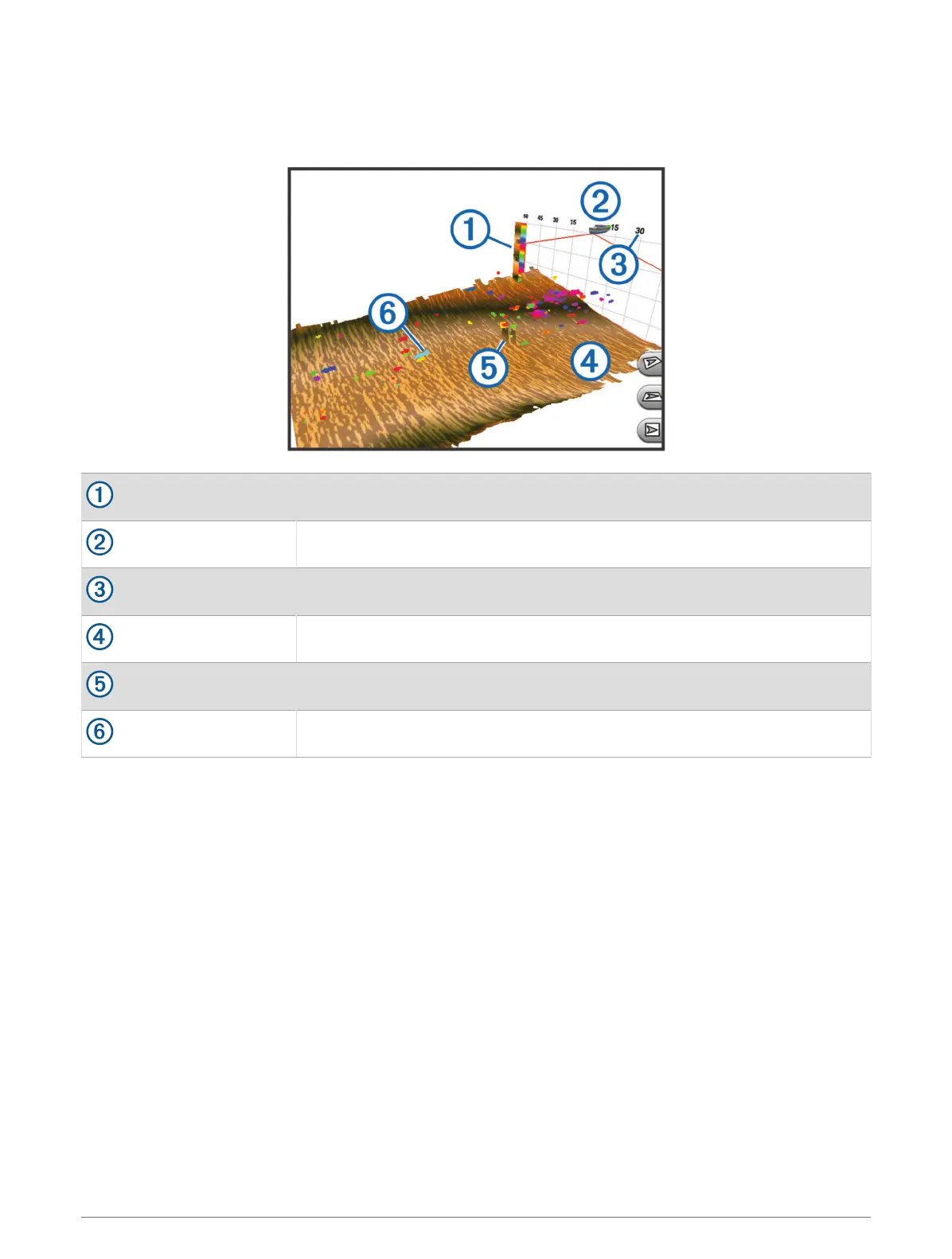
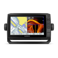
RealVü 3D Historical Sonar View
This sonar view provides a three-dimensional view of what is behind your boat as you are moving and shows the
entire water column in 3D, from the bottom to the top of the water. This view is used for finding fish.
Color legend
Boat
Range
Bottom
Structure
Fish
Sonar Fishfinder 59

Table of Contents

Questions and Answers:

Question and Answer IconNeed help?

Do you have a question about the Garmin ECHOMAP UHD2 and is the answer not in the manual?

Garmin ECHOMAP UHD2 Specifications

General IconGeneral
SonarYes
GPSYes
Water RatingIPX7
NMEA 0183 Input Ports1
NMEA 0183 Output Ports1
Sonar RecordingYes
Sonar History RewindYes
Display Resolution800 x 480 pixels
Preloaded MapsYes
ConnectivityWi-Fi
Mounting OptionsFlush mount
AntennaInternal
Transmitter Power500 W (RMS)
Sonar FrequenciesTraditional: 77/200 kHz
Maximum Depth2, 300 ft (Traditional)
Waypoints5, 000
Routes100

Related product manuals