25Magellan SporTrak GPS Receiver
Reference
Selecting the Data Fields — This function allows you to select which
data fields are to be displayed. You can choose from Customize Fields,
Street Information or, if topographic information is loaded, you can
select Horizontal Profile or Terrain Projection. If you select either
Horizontal Profile or Terrain Projection and you do not have
topographic information loaded a warning screen is displayed.
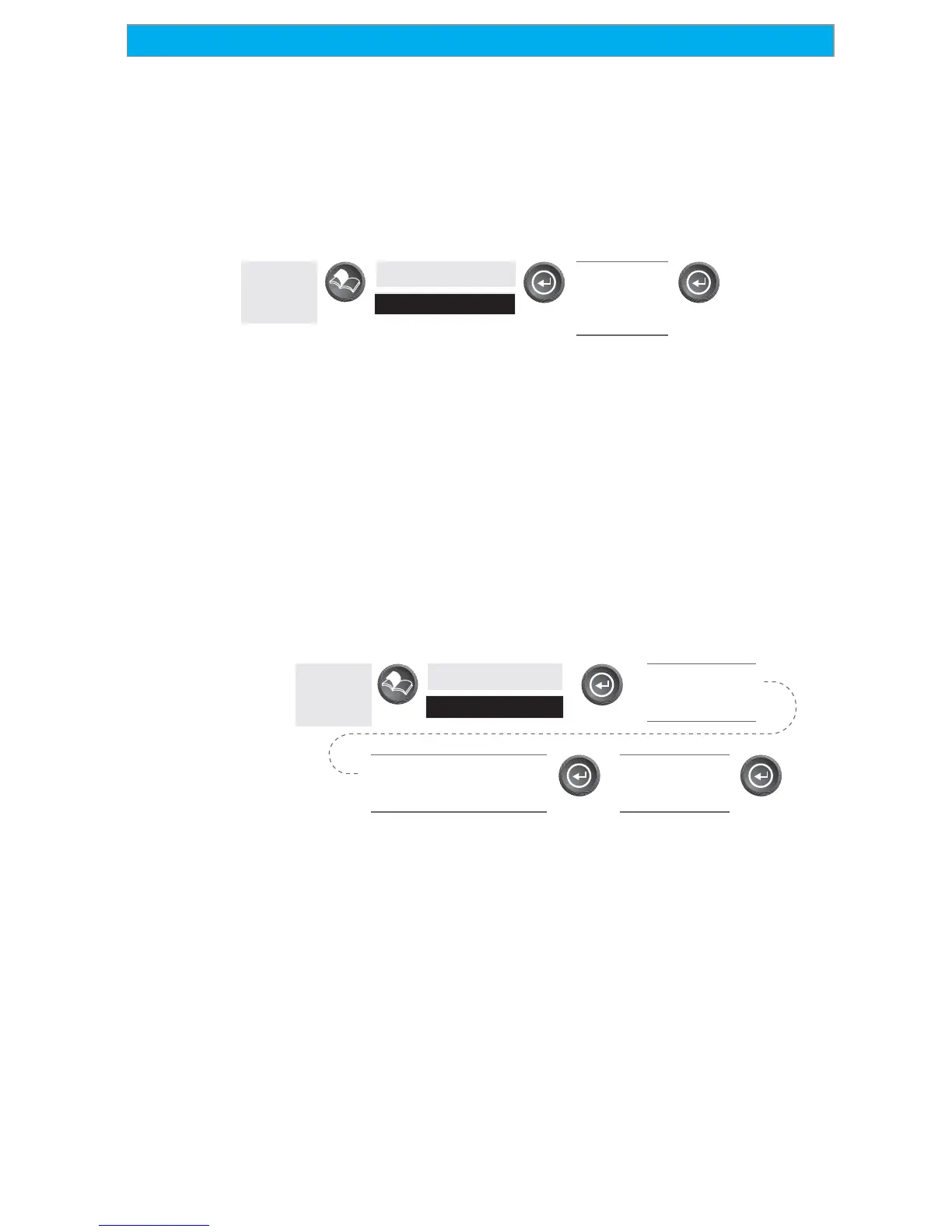
From
the MAP
Screen
Highlight
Customize
Use U/D
arrows to
select desired
information
Two Data Fields Description — This option displays two boxes at the
bottom of the map that can display data that you choose. Displaying
these data fields is the default for the SporTrak.
Changing the Data Fields — Allows you to change the data that is
being displayed to 1 of 13 different data options (bearing, distance,
speed, heading, VMG, CTS, ETA, ETE, XTE, turn, elevation, time,
or date). Note: If you have selected Hide Map Info, this option will
not be available in the menu. Also, you must have the Two Data
Fields displayed on the Map screen to be able to customize them.
Press [ESC] when you are done to leave the customize mode.
From
the MAP
Screen
Highlight
Customize
Use U/D arrows to
highlight
Customize Fields
Use L/R arrows to highlight
the title for the data field
to be changed
Use arrows to
select new data
type
Street Information Description — This mode just displays the name of
the street close to your present position.
Horizontal Profile Description — This mode displays at the bottom of the
Map screen a graphical representation of the horizon at a fixed distance
from your present position. This fixed distance is equal to the map scale
you have selected for the Map screen, so as you zoom in or out, the
horizon displayed will change. In the Horizon Profile mode, you will
also notice a line projected out from your present position icon to a
shorter perpendicular line. The intersection of the two lines indicates
the location on the map where the horizon is being computed. (This