ZENMUSE L2
User Manual
14
©
2023 DJI All Rights Reserved.
Field Data Collection
In the DJI Pilot 2 app, users can perform a ight task (Area Route, Waypoint Route, and Linear
Route) or use Manual mode to record point cloud data. After each task, the app will generate a
task quality report to show the validity of the data.
• Make sure to remove the microSD card after at least 60 s of stopping the shuttering or
the point cloud recording. Otherwise, the accuracy may be reduced or the data le may
be damaged.
Getting Started
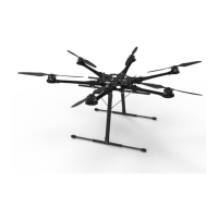
1. Make sure the L2 is correctly installed on the single downward gimbal connector of the
aircraft and that the aircraft and remote controller are linked after powering on.
2. Go to Camera View in DJI Pilot 2, select and then Precise Positioning Setting. Choose the
RTK service type, and then make sure that the status of RTK positioning and heading both
display FIX. Refer to PPK Data Acquisition to learn more about data processing if the network
or the remote controller video transmission signal is poor.
3. Adjust the camera parameters on the upper right corner of Camera View according to the
surroundings. Make sure the photo is well exposed. Tap to switch exposure modes. It is
recommended to set Auto mode for recording point cloud data.
Area Route
When using the area route, the aircraft can automatically complete the data collection of the
planned area along the s-shaped route according to the route parameters. Terrain follow ight
can be performed in the area route task.
Recording Point Cloud Data
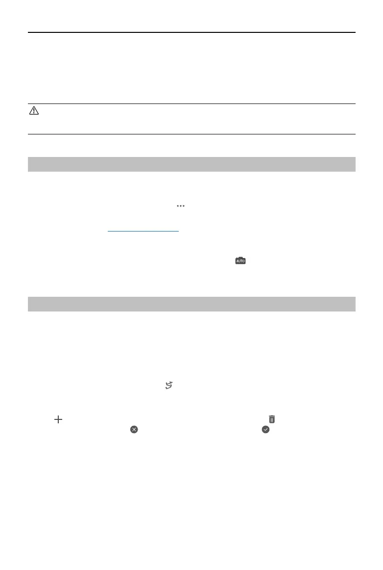
Enter Camera View in DJI Pilot 2 and tap , select Create a Route, and then Area Route to create
a ight task.
1. Tap on the map view, and drag the boundary point to adjust the range of the mapping area.
Tap in the middle of the boundary point to add a point. Tap to delete the selected
boundary point, and click to delete all boundary points. Tap to conrm the mapping
area.
 Loading...