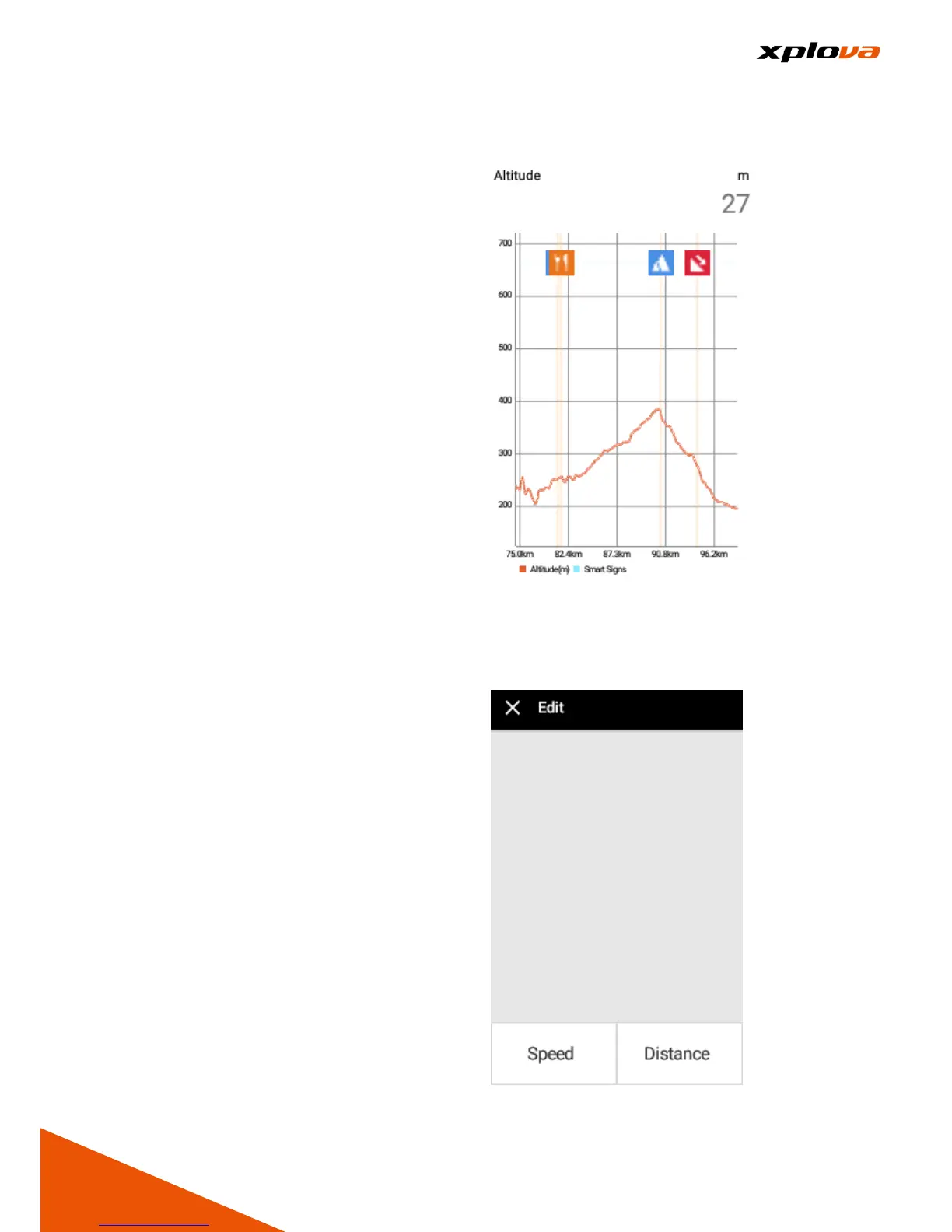
Altimeter
___________________________________________________________________________________________________________________________
After downloading Route and start
recording, press physical [Down
Switch Button] to turn on [Altimeter].
This meter displays the current
altitude of this Route, with relative
Smart Sign™ displayed on the top
panel that can be zoomed in and out
for viewing the relative elevation and
route distance of each Smart Sign™
location.
* Note: In the Altimeter page, press
physical [Up Switch Button] to switch
back to the original Navigation Mode
screen.
Edit Field
___________________________________________________________________________________________________________________________
In Navigation mode, two information
fields below the Map can be
customized according to your
preference. Enter Quick Access
Menu and tap [Navigation Settings].
Then tap [Edit] to select the
respective field you want to change
and specify the display information
you want to customize.