IFD500 Series Pilot Guide
Map Subsystem 4-1
4 Map Subsystem
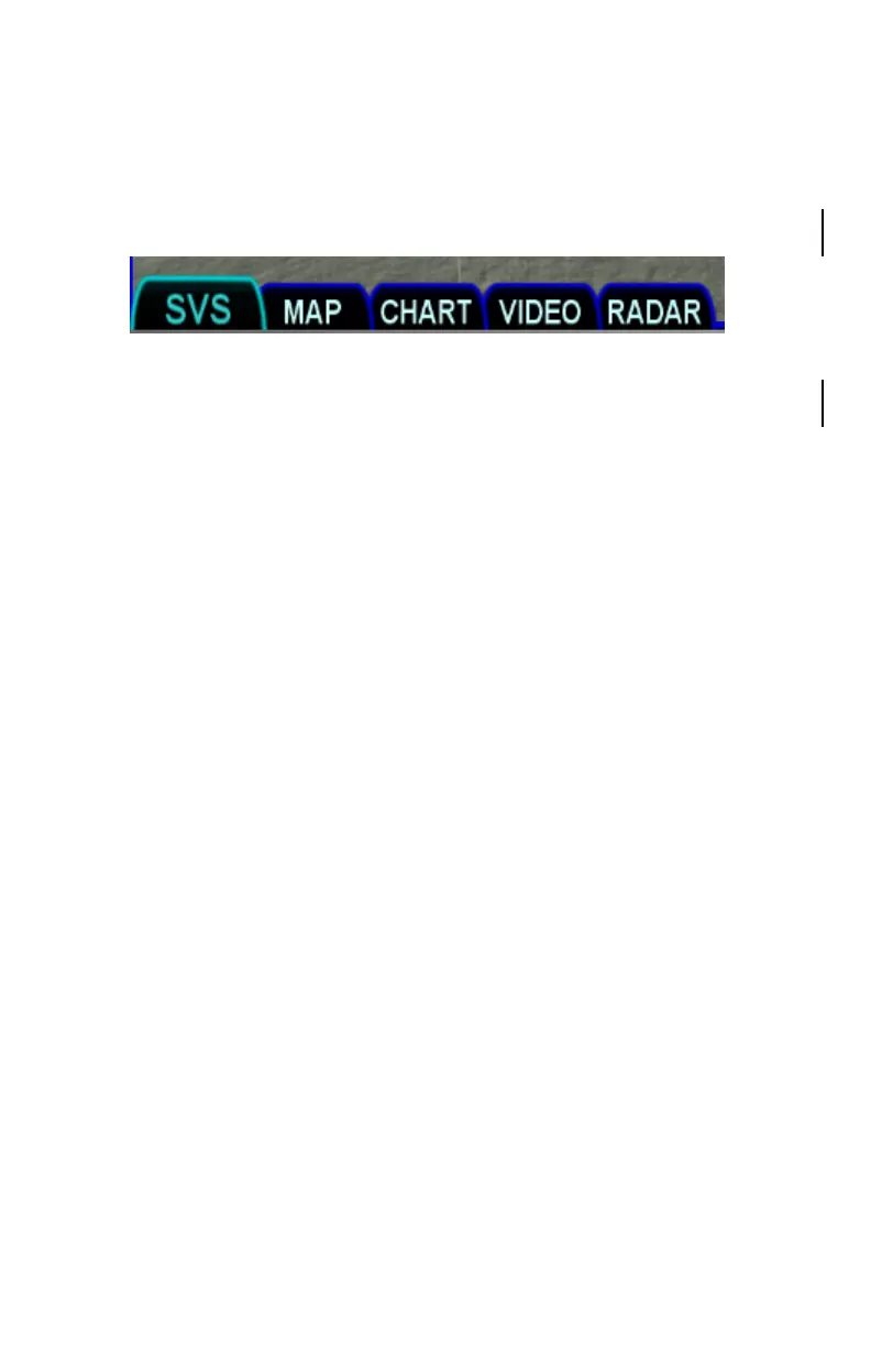
The map subsystem contains several pages as shown below.
The SVS tab shows an exocentric synthetic vision view around the
aircraft. If TAWS is enabled, this tab will be named TAWS.
The MAP tab shows a plan view representation of the environment
around the aircraft, much like a sectional chart. The map can be
panned away from the aircraft.
The CHART tab is used to manage the display of electronic charts.
The optional VIDEO tab is used to display images from an external
video source.
The optional RADAR tab is used to show the returns from a weather
radar and provides radar controls.