IFD500 Series Pilot Guide
Map Subsystem 4-67
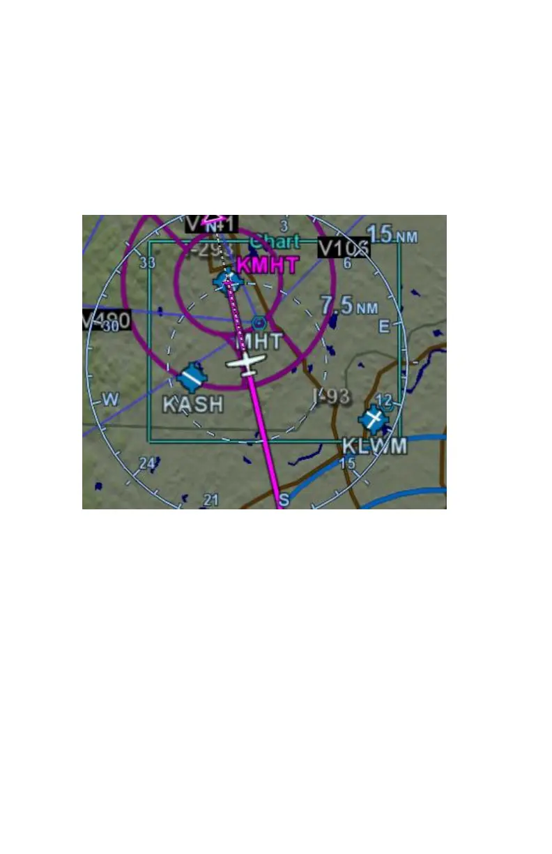
CHART EXTENT BOX
A green chart extent box is drawn separately on the map and
represents the geographic boundaries of an instrument approach
plate associated with a FMS destination. When the ownship symbol
crosses the boundary of the chart extent box, this is a good time to
switch over to the CHART tab.
Close Up of Chart Extent Box