1. Follow procedures 1 and 2 in subsection 8.5.7.1 to open the INIT SET #3
menu.
2. Press the
4
key to select "CHART CENTER POSITION".
3. Press the
4
key or
ENT
key, enter an center position value for N
(north latitude)/S (South latitude) using numeric keys (
0
to
9
)
and press the
ENT
key.
4. Enter an center position value for E (east longitude) W (west longitude)
using numeric keys (
0
to
9
) and press the
ENT
key.
The data input from the GPS, if any, is prioritized.
Exit
5. Press the
SUB
MENU
key.
Note
● Use this function can be used only when the plotter mode is selected.
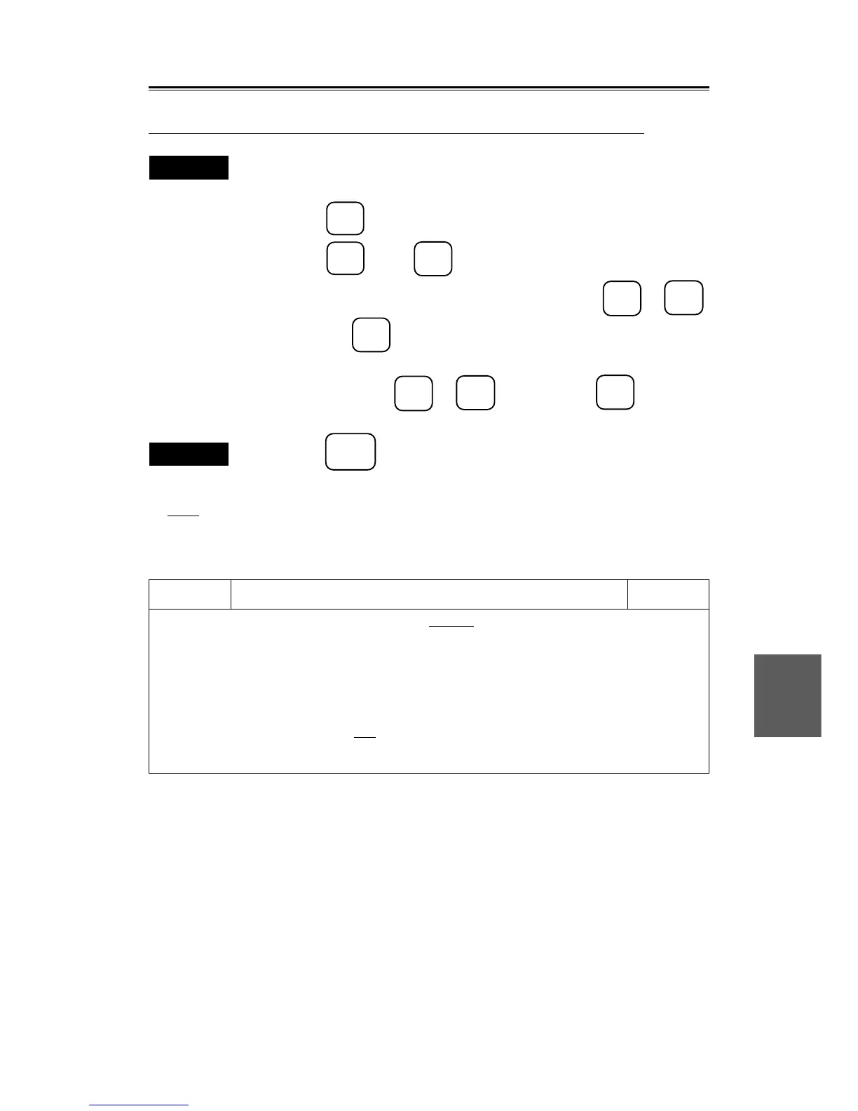
Init set #3
1. SHIFT COAST LINE #1 SETTING DELETE
2. SHIFT COAST LINE #2 N 0.000’
E 0.000’
3. LAT / LON CORRECTION N 0.000’
E 0.000’
4. CHART CENTER POSITION N 0˚ 00.000’
E 0˚ 00.000’
5. DATE / TIME
OFF UTC LOCAL
6.
INIT
SET #3
0. PREV
9. NEXT
 Loading...