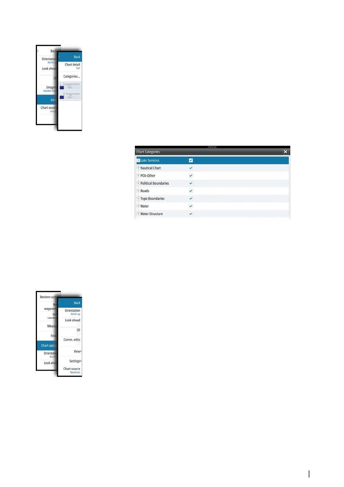
Insight view options
Chart detail
• Full
All available information for the chart in use.
• Medium
Minimum information sufficient for navigation.
• Low
Basic level of information that cannot be removed, and includes information that is
required in all geographic areas. It is not intended to be sufficient for safe navigation.
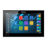
Insight chart categories
Insight charts include several categories and sub-categories that you can turn on/off
individually depending on which information you want to see.
Land Exaggeration and Water Exaggeration
Graphical settings available in 3D mode only. Exaggeration is a multiplier applied to the
drawn height of hills on land, and troughs in water to make them look taller or deeper.
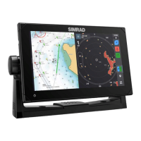
Navionics charts
Navionics specific chart options
Orientation, Look ahead, 3D and change Chart source (previously described in this section)
are common for all chart types.
Community edits
Toggles on the chart layer including Navionics edits. These are user information or edits
uploaded to Navionics Community by users, and made available in Navionics charts.
For more information, refer to Navionics information included with your chart, or to
Navionics website: www.navionics.com.
Charts | NSO evo2 Operator Manual
31