AIS Aids to Navigation
An AIS aid to navigation (ATON) is any kind of navigational aid that is transmitted over the AIS radio. ATONs are
displayed on the charts and have identifying information, such as position and type.
There are three main kinds of AIS ATONs. Real ATONs physically exist and send their identifying and location
information from their actual location. Synthetic ATONs physically exist, and their identifying and location
information is sent from another location. Virtual ATONs do not actually exist, and their identifying and location
information is sent from another location.
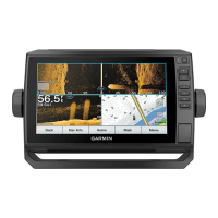
You can view AIS ATONs on the chart when the chartplotter is connected to a compatible AIS radio. To show
AIS ATONs, from a chart, select Menu > Layers > Chart > Navaid > ATONs. You can view more information
about an ATON if you select the ATON on the chart.
Symbol Meaning
Real or synthetic ATON
Real or synthetic ATON: Topmark North
Real or synthetic ATON: Topmark South
Real or synthetic ATON: Topmark East
Real or synthetic ATON: Topmark West
Real or synthetic ATON: Topmark Special
Real or synthetic ATON: Topmark Safe
Real or synthetic ATON: Topmark Danger
Virtual ATON
Virtual ATON: Topmark North
Virtual ATON: Topmark South
Virtual ATON: Topmark East
Virtual ATON: Topmark West
Virtual ATON: Topmark Special
Virtual ATON: Topmark Safe
Virtual ATON: Topmark Danger
Charts and 3D Chart Views 21